UN/LOCODE hub · Mexico
MXDHD
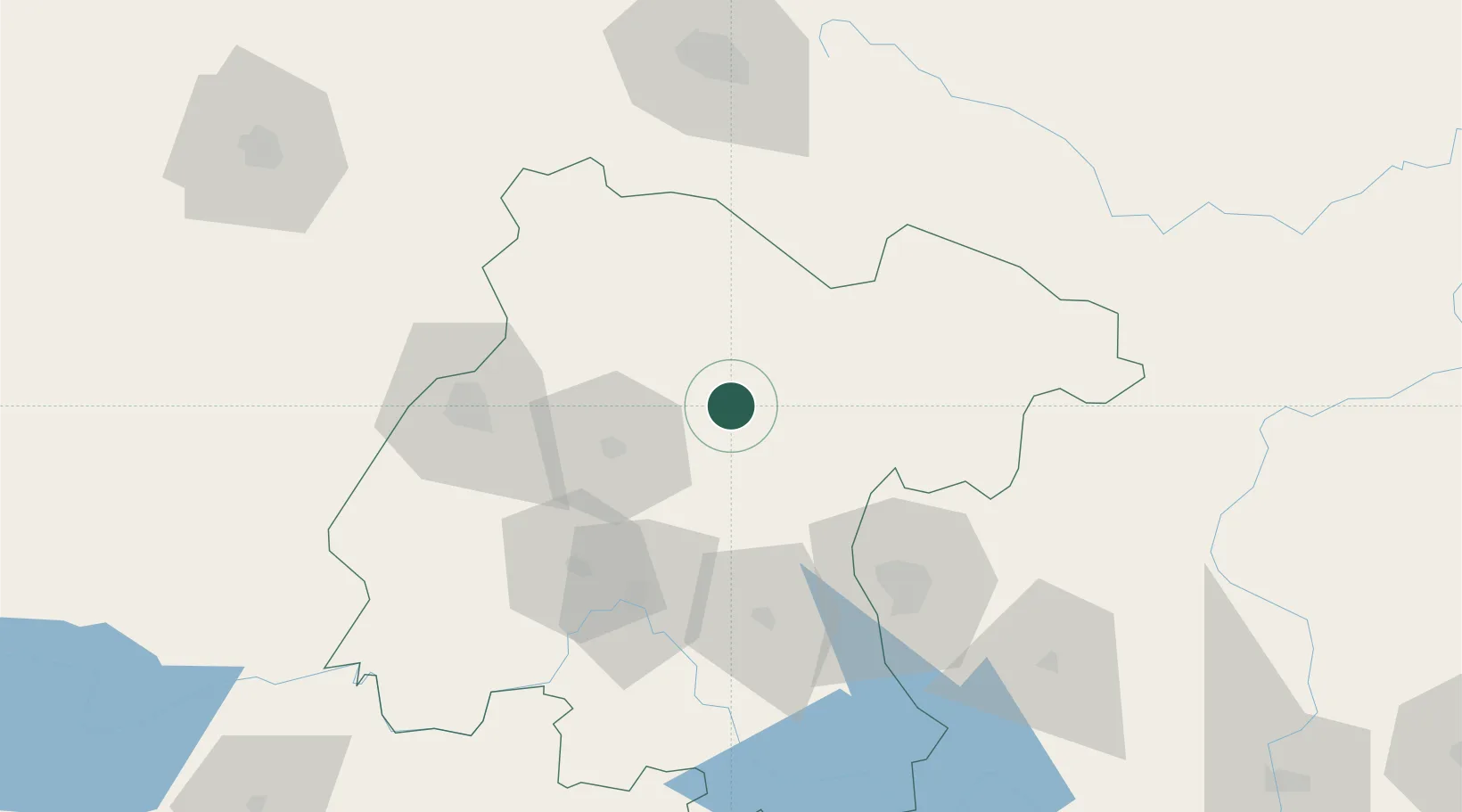
Dolores Hidalgo
21.1500°, -100.9167°
67,101
Population
3
Transport functions
Transport Functions
Port
Road
Multimodal
Hub Profile
Place type
Populated place
Region
Guanajuato
Population
67,101
Time zone
America/Mexico_City
Elevation
1,918 m
Location
Nearby Logistics Neighbours
Cities
- 1La Purísima12 km
- 2Apaseo el Grande69 km
- 3Celaya71 km
- 4El Marques86 km
- 5Granjas87 km
Ports
- 1Tampico337 km
- 2Altamira350 km
- 3Tuxpan366 km
- 4Lazaro Cardenas381 km
- 5Manzanillo425 km
Airports
Trade Zones
- 1The Special Economic Zone of Lázaro Cárdenas - La Unión382 km
- 2FTZ No. 012 McAllen618 km
- 3FTZ No. 095 Starr County619 km
- 4FTZ No. 156 Weslaco630 km
- 5FTZ No. 157 Casper630 km
DatabookThe Record of Consolidated Knowledge
Mexico beyond logistics?