UN/LOCODE hub · Mexico
MXACT

Acatic

20.7833°, -102.8833°
11,890
Population
1
Transport functions

Transport Functions

Multimodal
UN/LOCODE

Hub Profile

Place type
Provincial seat
GeoNames
Region
Jalisco
GeoNames
Population
11,890
GeoNames
Time zone
America/Mexico_City
GeoNames
Elevation
1,666 m
GeoNames

Location

Location of MXACT
Natural Earth 10m (public domain) · Jalisco · MXACT · 20.78, -102.88GoogleOSMYandex

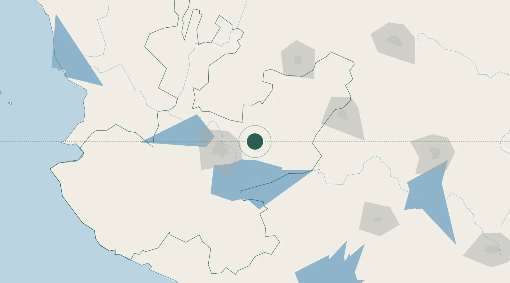
Nearby Logistics Neighbours

Cities
  1. 1Tepatitlán de Morelos16 km
  2. 2Puerto Interior Leon17 km
  3. 3Zapotlan del Rey37 km
  4. 4Atotonilco el Alto48 km
  5. 5Atotonilquillo50 km
Nearest neighbours — logibook spatial index (haversine) over the source coordinates
Ports
  1. 1Manzanillo244 km
  2. 2Puerto Vallarta249 km
  3. 3Lazaro Cardenas326 km
  4. 4Mazatlan453 km
  5. 5Acapulco536 km
Nearest neighbours — logibook spatial index (haversine) over the source coordinates
Airports
  1. 1Guadalajara International Airport53 km
  2. 2Unitec Guadalajara Helipad61 km
  3. 3Aguascalientes International Airport118 km
  4. 4Guanajuato International Airport148 km
  5. 5Agricola La Tuxcana Airport164 km
Nearest neighbours — logibook spatial index (haversine) over the source coordinates
Trade Zones
  1. 1The Special Economic Zone of Lázaro Cárdenas - La Unión326 km
  2. 2FTZ No. 095 Starr County747 km
  3. 3FTZ No. 012 McAllen760 km
  4. 4FTZ No. 156 Weslaco776 km
  5. 5FTZ No. 157 Casper776 km
Nearest neighbours — logibook spatial index (haversine) over the source coordinates
DatabookThe Record of Consolidated Knowledge
Mexico beyond logistics?
Browse databook

All Sources

LocationsUN/LOCODE
UN/LOCODE — free
LocationsGeoNames
CC BY 4.0
Portsthe NGA World Port Index
Public domain (US gov)
AirportsOurAirports
Public domain
Trade Zonesthe World Bank SEZ database
CC BY 4.0
Trade ZonesOpen Zone Map
CC BY
← Mexico locations