Large airport · Mexico

General Francisco J. Mujica International AirportMMMM

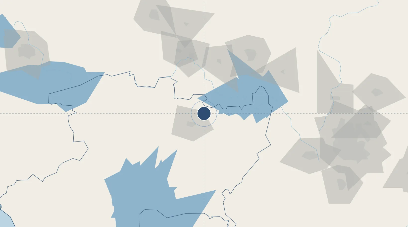
19.8499°, -101.0250°
11,155 ft
Longest runway
1
Runways
6,033 ft
Elevation

Runway & Layout

General Francisco J. Mujica International Airport runway & taxiway layout
Runway & taxiway layout — OpenStreetMap (ODbL) / OurAirports

Radio Frequencies

APP
118.5 MHz
MORELIA APP/TWR
OurAirports

Navaids

MLM VOR-DME Morelia 114.60 MHz
OurAirports

Runways · 1

RunwayDimensions SurfaceTrue headingLit
05/23 11,155 × 148ft Asphalt 055°
OurAirports

Airport Specifications

IATA code
MLM
OurAirports
ICAO code
MMMM
OurAirports
Airport class
Large airport
OurAirports
Scheduled service
Yes
OurAirports
Runway surface
Asphalt
OurAirports
Served city
Morelia
OurAirports

Location

Location of MMMM
Natural Earth 10m (public domain) · Michoacán · MMMM · 19.85, -101.03GoogleOSMYandex

Nearby Logistics Neighbours

Cities
  1. 1Moroleón36 km
  2. 2Tiripetío46 km
  3. 3Ciudad Hidalgo51 km
  4. 4Celaya77 km
  5. 5Zakapu81 km
Nearest neighbours — logibook spatial index (haversine) over the source coordinates
Ports
  1. 1Lazaro Cardenas245 km
  2. 2Acapulco353 km
  3. 3Manzanillo356 km
  4. 4Tuxpan397 km
  5. 5Tampico420 km
Nearest neighbours — logibook spatial index (haversine) over the source coordinates
Trade Zones
  1. 1The Special Economic Zone of Lázaro Cárdenas - La Unión246 km
  2. 2Special Economic Zone of Coatzacoalcos712 km
  3. 3Special Economic Zone of Salina Cruz736 km
  4. 4FTZ No. 012 McAllen755 km
  5. 5FTZ No. 095 Starr County760 km
Nearest neighbours — logibook spatial index (haversine) over the source coordinates
DatabookThe Record of Consolidated Knowledge
Mexico beyond logistics?
Browse databook

All Sources

AirportsOurAirports
Public domain
Portsthe NGA World Port Index
Public domain (US gov)
LocationsUN/LOCODE
UN/LOCODE — free
Trade Zonesthe World Bank SEZ database
CC BY 4.0
Trade ZonesOpen Zone Map
CC BY
InfrastructureOpenStreetMap
ODbL 1.0
← Mexico airports