UN/LOCODE hub · Mexico
MXCLY

Celaya

20.5167°, -100.8167°
340,387
Population
2
Transport functions

Transport Functions

Rail
Road
UN/LOCODE

Hub Profile

Place type
Provincial seat
GeoNames
Region
Guanajuato
GeoNames
Population
340,387
GeoNames
Time zone
America/Mexico_City
GeoNames
Elevation
1,762 m
GeoNames

Location

Location of MXCLY
Natural Earth 10m (public domain) · Guanajuato · MXCLY · 20.52, -100.82GoogleOSMYandex

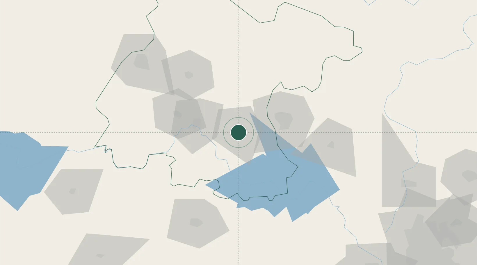
Nearby Logistics Neighbours

Cities
  1. 1Apaseo el Grande13 km
  2. 2El Marques53 km
  3. 3Moroleón58 km
  4. 4La Purísima68 km
  5. 5Dolores Hidalgo71 km
Nearest neighbours — logibook spatial index (haversine) over the source coordinates
Ports
  1. 1Lazaro Cardenas320 km
  2. 2Tuxpan359 km
  3. 3Tampico359 km
  4. 4Altamira377 km
  5. 5Manzanillo401 km
Nearest neighbours — logibook spatial index (haversine) over the source coordinates
Trade Zones
  1. 1The Special Economic Zone of Lázaro Cárdenas - La Unión321 km
  2. 2FTZ No. 012 McAllen678 km
  3. 3FTZ No. 095 Starr County683 km
  4. 4FTZ No. 156 Weslaco689 km
  5. 5FTZ No. 157 Casper689 km
Nearest neighbours — logibook spatial index (haversine) over the source coordinates
DatabookThe Record of Consolidated Knowledge
Mexico beyond logistics?
Browse databook

All Sources

LocationsUN/LOCODE
UN/LOCODE — free
LocationsGeoNames
CC BY 4.0
Portsthe NGA World Port Index
Public domain (US gov)
AirportsOurAirports
Public domain
Trade Zonesthe World Bank SEZ database
CC BY 4.0
Trade ZonesOpen Zone Map
CC BY
← Mexico locations