Transport Functions
Road
Multimodal
Hub Profile
Place type
Populated place
Region
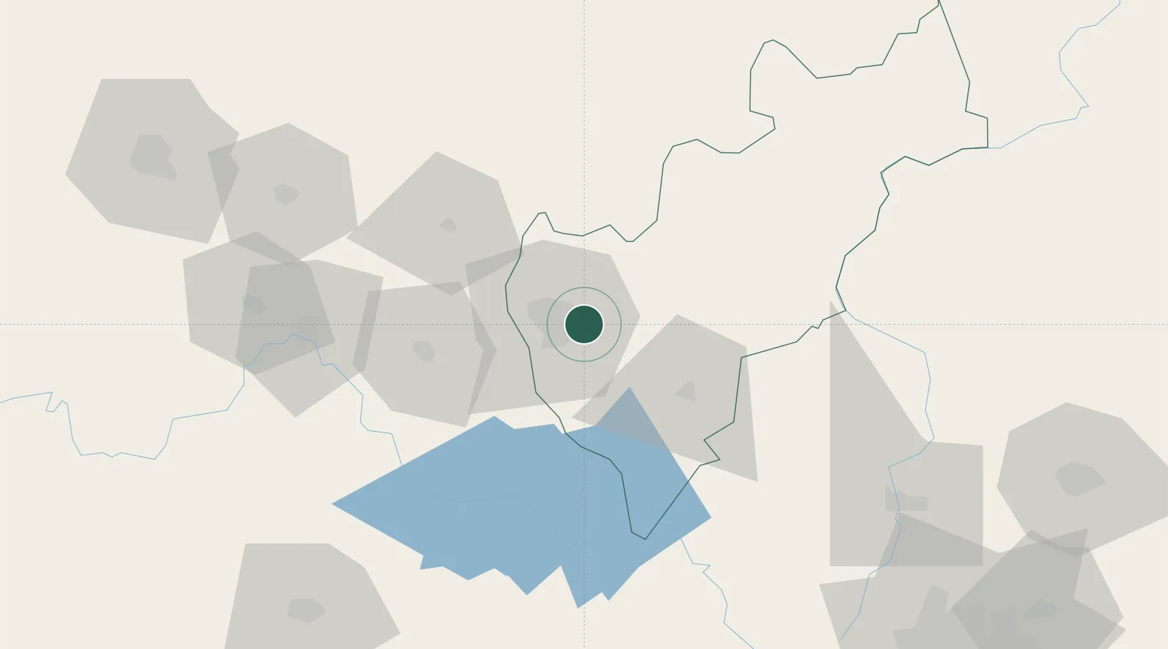
Querétaro
Time zone
America/Mexico_City
Elevation
1,961 m
Location
Nearby Logistics Neighbours
Cities
- 1Ajuchitlán33 km
- 2Apaseo el Grande40 km
- 3Bernal42 km
- 4Tequisquiapan48 km
- 5Celaya53 km
Ports
- 1Tuxpan306 km
- 2Tampico310 km
- 3Altamira329 km
- 4Lazaro Cardenas356 km
- 5Acapulco421 km
Airports
Trade Zones
- 1The Special Economic Zone of Lázaro Cárdenas - La Unión357 km
- 2FTZ No. 012 McAllen650 km
- 3FTZ No. 095 Starr County659 km
- 4FTZ No. 156 Weslaco659 km
- 5FTZ No. 157 Casper659 km
DatabookThe Record of Consolidated Knowledge
Mexico beyond logistics?