UN/LOCODE hub · Mexico
MXAPA
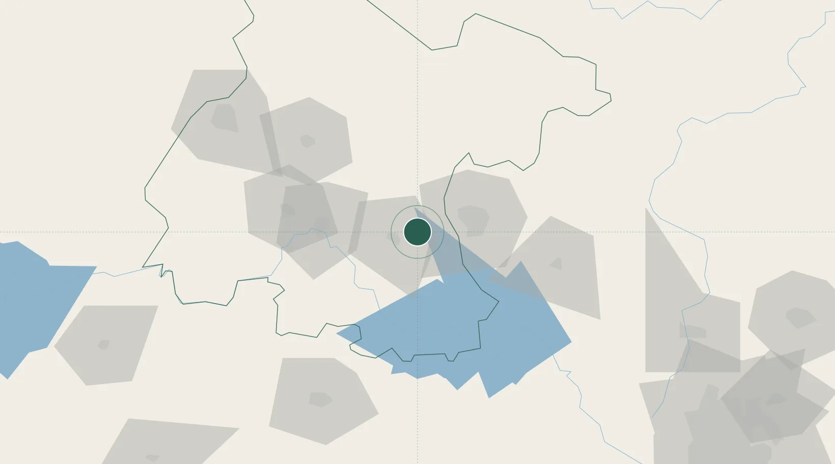
Apaseo el Grande
20.5667°, -100.7000°
26,121
Population
2
Transport functions
Transport Functions
Rail
Road
Hub Profile
Place type
Provincial seat
Region
Guanajuato
Population
26,121
Time zone
America/Mexico_City
Elevation
1,774 m
Location
Nearby Logistics Neighbours
Cities
- 1Celaya13 km
- 2El Marques40 km
- 3La Purísima68 km
- 4Dolores Hidalgo69 km
- 5Moroleón71 km
Ports
- 1Lazaro Cardenas331 km
- 2Tuxpan346 km
- 3Tampico346 km
- 4Altamira364 km
- 5Manzanillo414 km
Airports
Trade Zones
- 1The Special Economic Zone of Lázaro Cárdenas - La Unión332 km
- 2FTZ No. 012 McAllen669 km
- 3FTZ No. 095 Starr County674 km
- 4FTZ No. 156 Weslaco679 km
- 5FTZ No. 157 Casper679 km
DatabookThe Record of Consolidated Knowledge
Mexico beyond logistics?