Medium airport · United States
Fort Stockton Pecos County AirportKFST
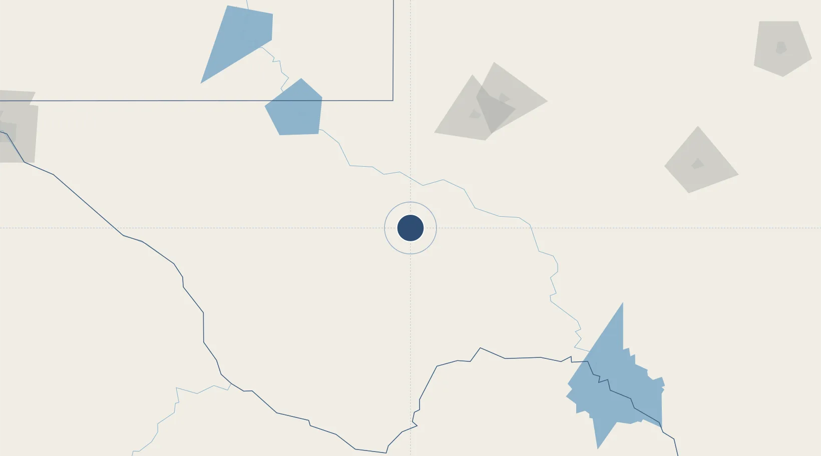
30.9157°, -102.9160°
7,508 ft
Longest runway
5
Runways
3,011 ft
Elevation
Runway & Layout

Radio Frequencies
ASOS
118.525 MHz
CNTR
135.875 MHz
ALBUQUERQUE CNTR
RDO
116.9 MHz
SAN ANGELO RDO
UNIC
122.8 MHz
CTAF/UNICOM
Navaids
FST VORTAC Fort Stockton 116.90 MHz
Runways · 5
| Runway | Dimensions | Surface | True heading | Lit |
|---|---|---|---|---|
| 12/30 | 7,508 × 100ft | Asphalt | 127° | ✓ |
| 07/25 | 4,961 × 150ft | Grass | 081° | — |
| 03/21 | 4,400 × 60ft | Asphalt | 037° | ✓ |
| 16/34 | 3,981 × 150ft | Turf | 171° | — |
| 11/29 | 3,348 × 100ft | Grass | 128° | — |
Airport Specifications
IATA code
FST
ICAO code
KFST
Airport class
Medium airport
Scheduled service
No
Runway surface
Asphalt
Served city
Fort Stockton
Location
Nearby Logistics Neighbours
Airports
Cities
- 1McCamey71 km
- 2Pecos78 km
- 3Balmorhea78 km
- 4Fort Davis100 km
- 5Gardendale133 km
Ports
- 1Corpus Christi636 km
- 2Rockport653 km
- 3Port Ingleside654 km
- 4Port Lavaca659 km
- 5Port Aransas664 km
Trade Zones
- 1FTZ No. 165 Midland142 km
- 2FTZ No. 166 Homestead142 km
- 3FTZ No. 260 Lubbock309 km
- 4FTZ No. 261 Alexandria309 km
- 5FTZ No. 096 Eagle Pass339 km
DatabookThe Record of Consolidated Knowledge
United States beyond logistics?