Transport Functions
Multimodal
Hub Profile
Place type
Provincial seat
Region
Zacatecas
Population
143,281
Time zone
America/Mexico_City
Elevation
2,192 m
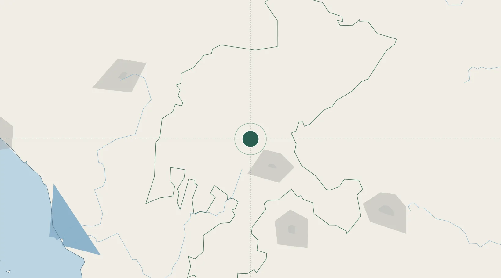
Location
Nearby Logistics Neighbours
Cities
- 1Jalisco142 km
- 2Jesus Maria144 km
- 3La Troje159 km
- 4Atotonilco183 km
- 5Obregón193 km
Ports
- 1Mazatlan363 km
- 2Puerto Vallarta376 km
- 3Manzanillo482 km
- 4Altamira520 km
- 5Tampico524 km
Airports
Trade Zones
- 1FTZ No. 095 Starr County543 km
- 2FTZ No. 012 McAllen571 km
- 3The Special Economic Zone of Lázaro Cárdenas - La Unión587 km
- 4FTZ No. 156 Weslaco592 km
- 5FTZ No. 157 Casper592 km
DatabookThe Record of Consolidated Knowledge
Mexico beyond logistics?