UN/LOCODE hub · Mexico
MXJAA

Jalacingo

19.8000°, -97.3000°
13,310
Population
2
Transport functions

Transport Functions

Road
Multimodal
UN/LOCODE

Hub Profile

Place type
Provincial seat
GeoNames
Region
Veracruz
GeoNames
Population
13,310
GeoNames
Time zone
America/Mexico_City
GeoNames
Elevation
1,889 m
GeoNames

Location

Location of MXJAA
Natural Earth 10m (public domain) · Veracruz · MXJAA · 19.80, -97.30GoogleOSMYandex

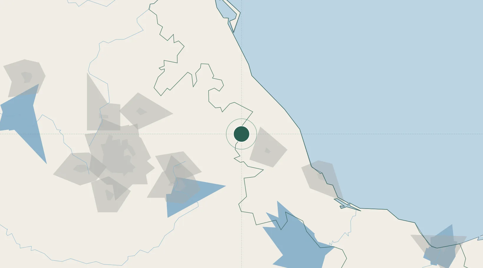
Nearby Logistics Neighbours

Cities
  1. 1Zaragoza25 km
  2. 2Cuetzalan del Progreso34 km
  3. 3Acajete40 km
  4. 4Naolinco50 km
  5. 5Papantla70 km
Nearest neighbours — logibook spatial index (haversine) over the source coordinates
Ports
  1. 1Tuxpan128 km
  2. 2Veracruz139 km
  3. 3Tampico275 km
  4. 4Altamira304 km
  5. 5Coatzacoalcos354 km
Nearest neighbours — logibook spatial index (haversine) over the source coordinates
Trade Zones
  1. 1Special Economic Zone of Coatzacoalcos348 km
  2. 2Zona Economica Especial de Tabasco452 km
  3. 3Special Economic Zone of Salina Cruz459 km
  4. 4The Special Economic Zone of Lázaro Cárdenas - La Unión554 km
  5. 5FTZ No. 062 Brownsville684 km
Nearest neighbours — logibook spatial index (haversine) over the source coordinates
DatabookThe Record of Consolidated Knowledge
Mexico beyond logistics?
Browse databook

All Sources

LocationsUN/LOCODE
UN/LOCODE — free
LocationsGeoNames
CC BY 4.0
Portsthe NGA World Port Index
Public domain (US gov)
AirportsOurAirports
Public domain
Trade Zonesthe World Bank SEZ database
CC BY 4.0
Trade ZonesOpen Zone Map
CC BY
← Mexico locations