UN/LOCODE hub · Mexico
MXNAO

Naolinco

19.6500°, -96.8500°
1
Transport functions

Transport Functions

Multimodal
UN/LOCODE

Hub Profile

Region
VER
GeoNames

Location

Location of MXNAO
Natural Earth 10m (public domain) · VER · MXNAO · 19.65, -96.85GoogleOSMYandex

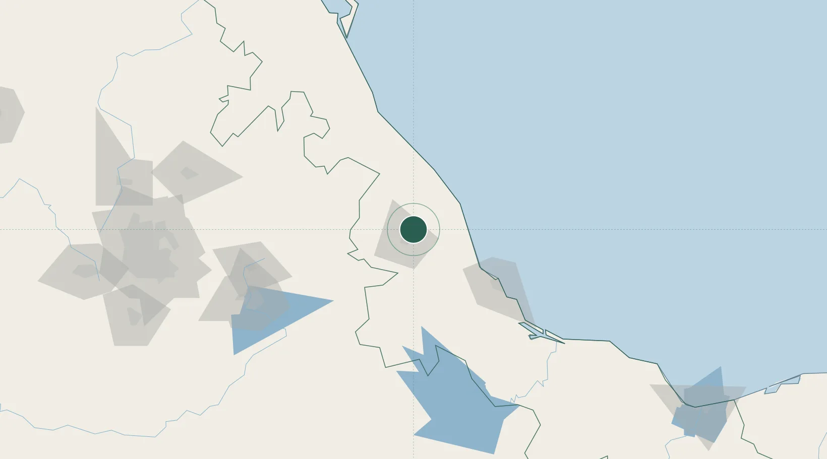
Nearby Logistics Neighbours

Cities
  1. 1Acajete17 km
  2. 2San Jose Chipila49 km
  3. 3Jalacingo50 km
  4. 4Nautla63 km
  5. 5Zaragoza73 km
Nearest neighbours — logibook spatial index (haversine) over the source coordinates
Ports
  1. 1Veracruz90 km
  2. 2Tuxpan156 km
  3. 3Tampico304 km
  4. 4Coatzacoalcos306 km
  5. 5Minatitlan308 km
Nearest neighbours — logibook spatial index (haversine) over the source coordinates
DatabookThe Record of Consolidated Knowledge
Mexico beyond logistics?
Browse databook

All Sources

LocationsUN/LOCODE
UN/LOCODE — free
Portsthe NGA World Port Index
Public domain (US gov)
AirportsOurAirports
Public domain
Trade Zonesthe World Bank SEZ database
CC BY 4.0
Trade ZonesOpen Zone Map
CC BY
← Mexico locations