Transport Functions
Multimodal
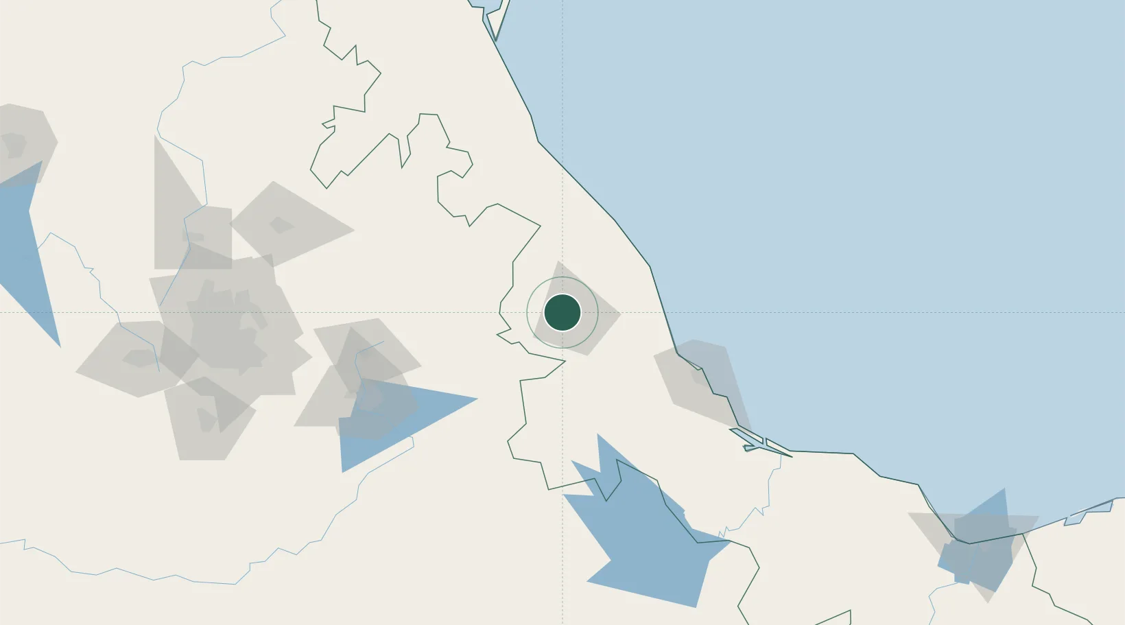
Hub Profile
Place type
Provincial seat
Region
Veracruz
Population
1,649
Time zone
America/Mexico_City
Elevation
2,028 m
Location
Nearby Logistics Neighbours
Cities
- 1Naolinco17 km
- 2Jalacingo40 km
- 3San Jose Chipila54 km
- 4Zaragoza59 km
- 5Cuetzalan del Progreso74 km
Ports
- 1Veracruz100 km
- 2Tuxpan158 km
- 3Tampico306 km
- 4Coatzacoalcos315 km
- 5Minatitlan316 km
Airports
DatabookThe Record of Consolidated Knowledge
Mexico beyond logistics?