Large airport · Mexico

General Heriberto Jara International AirportMMVR
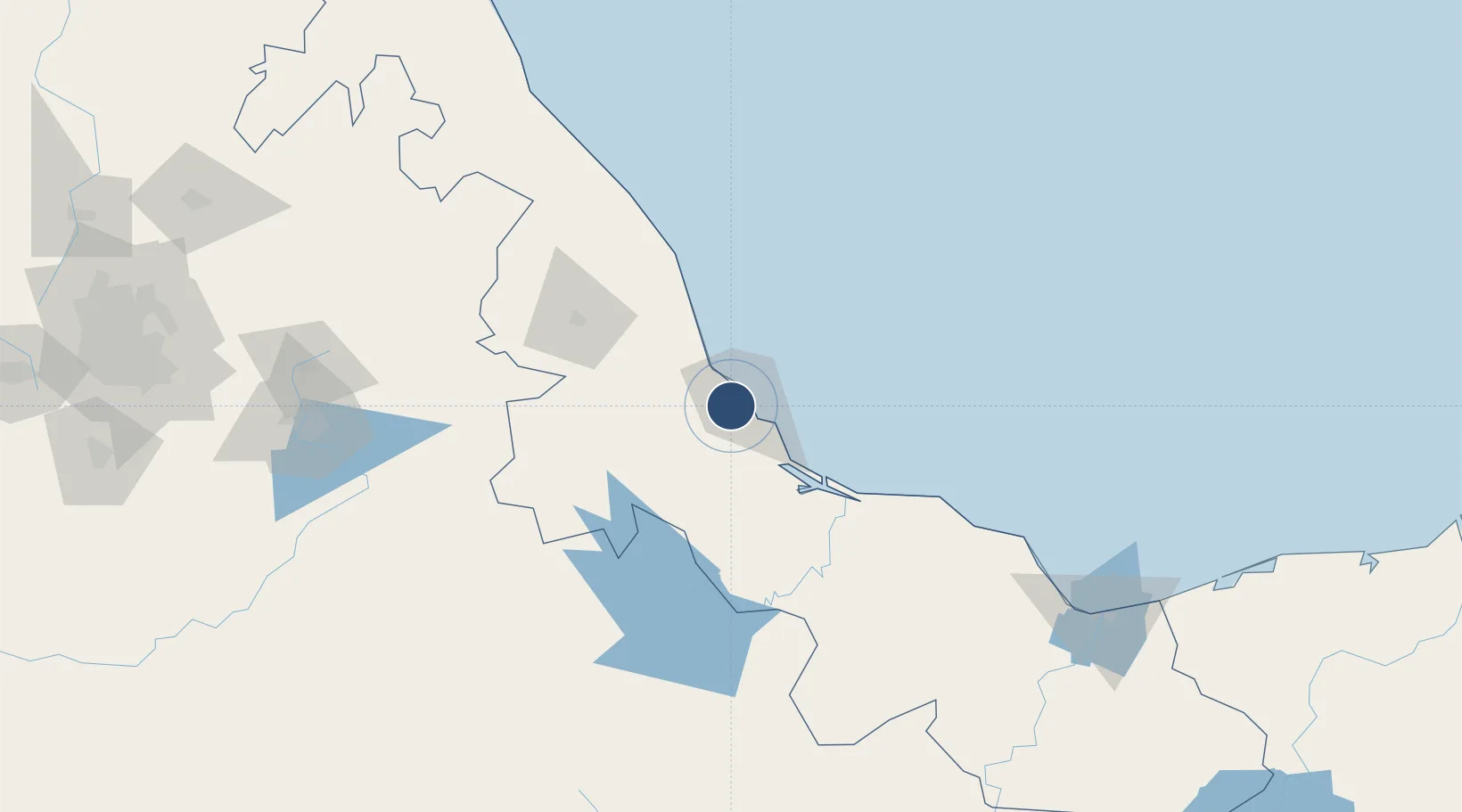
19.1396°, -96.1886°
7,874 ft
Longest runway
1
Runways
90 ft
Elevation

Runway & Layout

General Heriberto Jara International Airport runway & taxiway layout
Runway & taxiway layout — OpenStreetMap (ODbL) / OurAirports

Radio Frequencies

ATIS
127.8 MHz
TWR
118.5 MHz
VERACRUZ TWR
APP
120.4 MHz
VERACRUZ APP
OurAirports

Navaids

VER VOR-DME Veracruz 114.00 MHz
OurAirports

Runways · 1

RunwayDimensions SurfaceTrue headingLit
19/01 7,874 × 148ft Asphalt 191°
OurAirports

Airport Specifications

IATA code
VER
OurAirports
ICAO code
MMVR
OurAirports
Airport class
Large airport
OurAirports
Scheduled service
Yes
OurAirports
Runway surface
Asphalt
OurAirports
Served city
Veracruz
OurAirports

Location

Location of MMVR
Natural Earth 10m (public domain) · Veracruz · MMVR · 19.14, -96.19GoogleOSMYandex

Nearby Logistics Neighbours

Airports
  1. 1El Lencero Airport74 km
  2. 2Minatitlán/Coatzacoalcos International Airport205 km
  3. 3El Tajín National Airport210 km
  4. 4Hermanos Serdán International Airport229 km
  5. 5Xoxocotlán International Airport245 km
Nearest neighbours — logibook spatial index (haversine) over the source coordinates
Cities
  1. 1Veracruz8 km
  2. 2Boca del Río8 km
  3. 3Fortin de las Flores11 km
  4. 4Cotaxtla40 km
  5. 5San Jose Chipila46 km
Nearest neighbours — logibook spatial index (haversine) over the source coordinates
Ports
  1. 1Veracruz9 km
  2. 2Coatzacoalcos217 km
  3. 3Minatitlan218 km
  4. 4Nanchital222 km
  5. 5Tuxpan238 km
Nearest neighbours — logibook spatial index (haversine) over the source coordinates
Trade Zones
  1. 1Special Economic Zone of Coatzacoalcos210 km
  2. 2Zona Economica Especial de Tabasco319 km
  3. 3Special Economic Zone of Salina Cruz346 km
  4. 4Special Economic Zone of Campeche585 km
  5. 5Special Economic Zone of Puerto Chiapas637 km
Nearest neighbours — logibook spatial index (haversine) over the source coordinates
DatabookThe Record of Consolidated Knowledge
Mexico beyond logistics?
Browse databook

All Sources

AirportsOurAirports
Public domain
Portsthe NGA World Port Index
Public domain (US gov)
LocationsUN/LOCODE
UN/LOCODE — free
Trade Zonesthe World Bank SEZ database
CC BY 4.0
Trade ZonesOpen Zone Map
CC BY
InfrastructureOpenStreetMap
ODbL 1.0
← Mexico airports