Large airport · Mexico

Hermanos Serdán International AirportMMPB
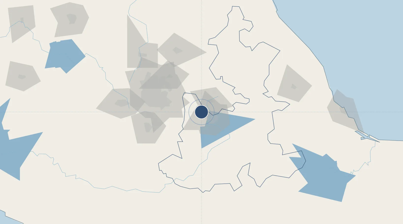
19.1585°, -98.3716°
11,811 ft
Longest runway
1
Runways
7,361 ft
Elevation

Runway & Layout

Hermanos Serdán International Airport runway & taxiway layout
Runway & taxiway layout — OpenStreetMap (ODbL) / OurAirports

Radio Frequencies

APP
118.2 MHz
PUEBLA APP/TWR
OurAirports

Navaids

PBC VOR-DME Puebla 115.20 MHz
OurAirports

Runways · 1

RunwayDimensions SurfaceTrue headingLit
17/35 11,811 × 148ft Asphalt 178°
OurAirports

Airport Specifications

IATA code
PBC
OurAirports
ICAO code
MMPB
OurAirports
Airport class
Large airport
OurAirports
Scheduled service
Yes
OurAirports
Runway surface
Asphalt
OurAirports
Served city
Puebla
OurAirports

Location

Location of MMPB
Natural Earth 10m (public domain) · Puebla · MMPB · 19.16, -98.37GoogleOSMYandex

Nearby Logistics Neighbours

Cities
  1. 1San Miguel Xoxtla8 km
  2. 2Cuautlancingo14 km
  3. 3Santa Isabel Cholula18 km
  4. 4Ixtapaluca23 km
  5. 5Tiaxcala28 km
Nearest neighbours — logibook spatial index (haversine) over the source coordinates
Ports
  1. 1Tuxpan224 km
  2. 2Veracruz235 km
  3. 3Acapulco305 km
  4. 4Tampico344 km
  5. 5Altamira374 km
Nearest neighbours — logibook spatial index (haversine) over the source coordinates
Trade Zones
  1. 1The Special Economic Zone of Lázaro Cárdenas - La Unión424 km
  2. 2Special Economic Zone of Coatzacoalcos424 km
  3. 3Special Economic Zone of Salina Cruz470 km
  4. 4Zona Economica Especial de Tabasco545 km
  5. 5FTZ No. 062 Brownsville762 km
Nearest neighbours — logibook spatial index (haversine) over the source coordinates
DatabookThe Record of Consolidated Knowledge
Mexico beyond logistics?
Browse databook

All Sources

AirportsOurAirports
Public domain
Portsthe NGA World Port Index
Public domain (US gov)
LocationsUN/LOCODE
UN/LOCODE — free
Trade Zonesthe World Bank SEZ database
CC BY 4.0
Trade ZonesOpen Zone Map
CC BY
InfrastructureOpenStreetMap
ODbL 1.0
← Mexico airports