Transport Functions
Port
Road
Multimodal
Hub Profile
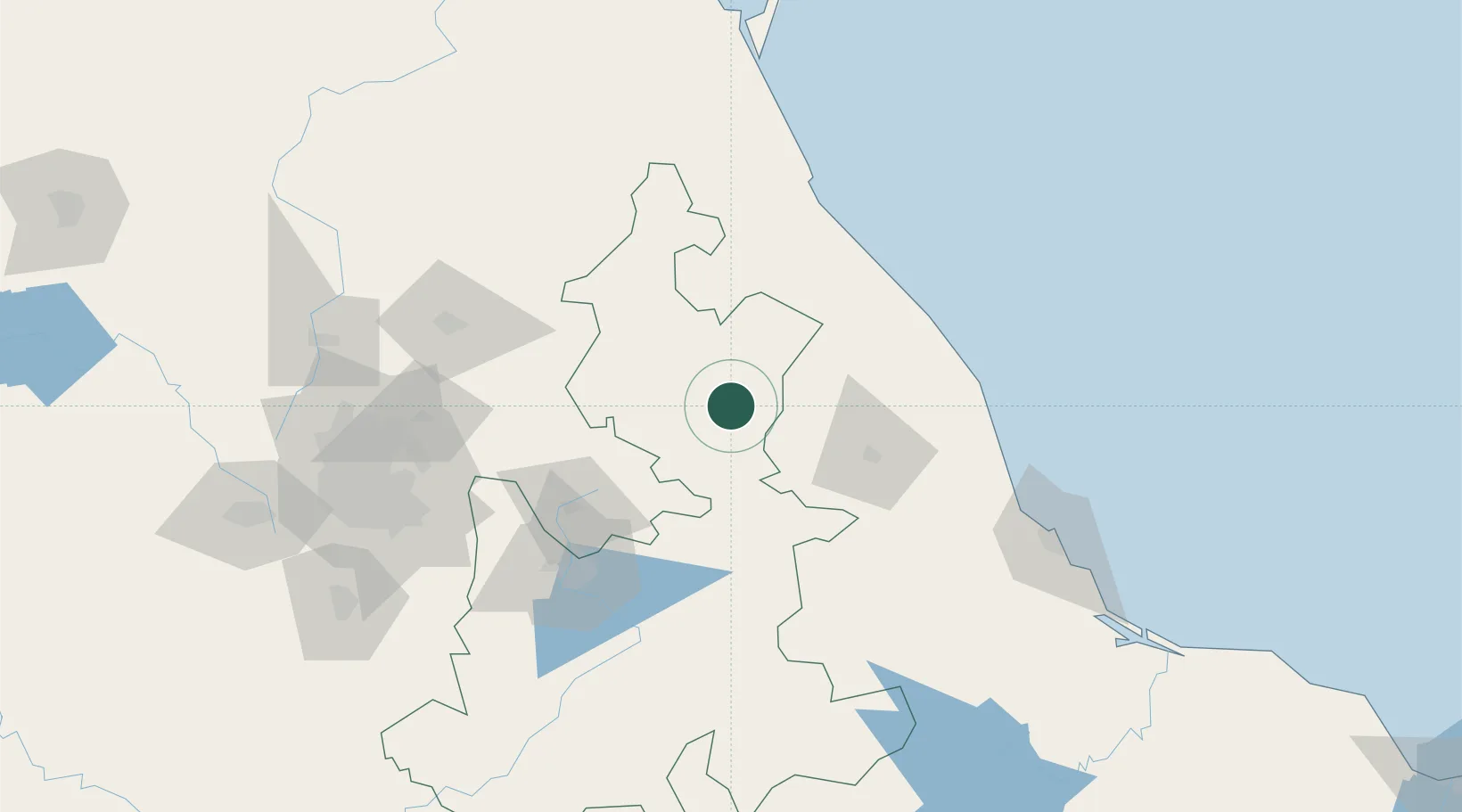
Place type
Populated place
Region
Puebla
Population
16,752
Time zone
America/Mexico_City
Elevation
2,311 m
Location
Nearby Logistics Neighbours
Cities
- 1Jalacingo25 km
- 2Cuetzalan del Progreso30 km
- 3Acajete59 km
- 4Huamantla65 km
- 5Nonoalco69 km
Ports
- 1Tuxpan132 km
- 2Veracruz160 km
- 3Tampico275 km
- 4Altamira304 km
- 5Minatitlan373 km
Airports
DatabookThe Record of Consolidated Knowledge
Mexico beyond logistics?