UN/LOCODE hub · Mexico
MXATO
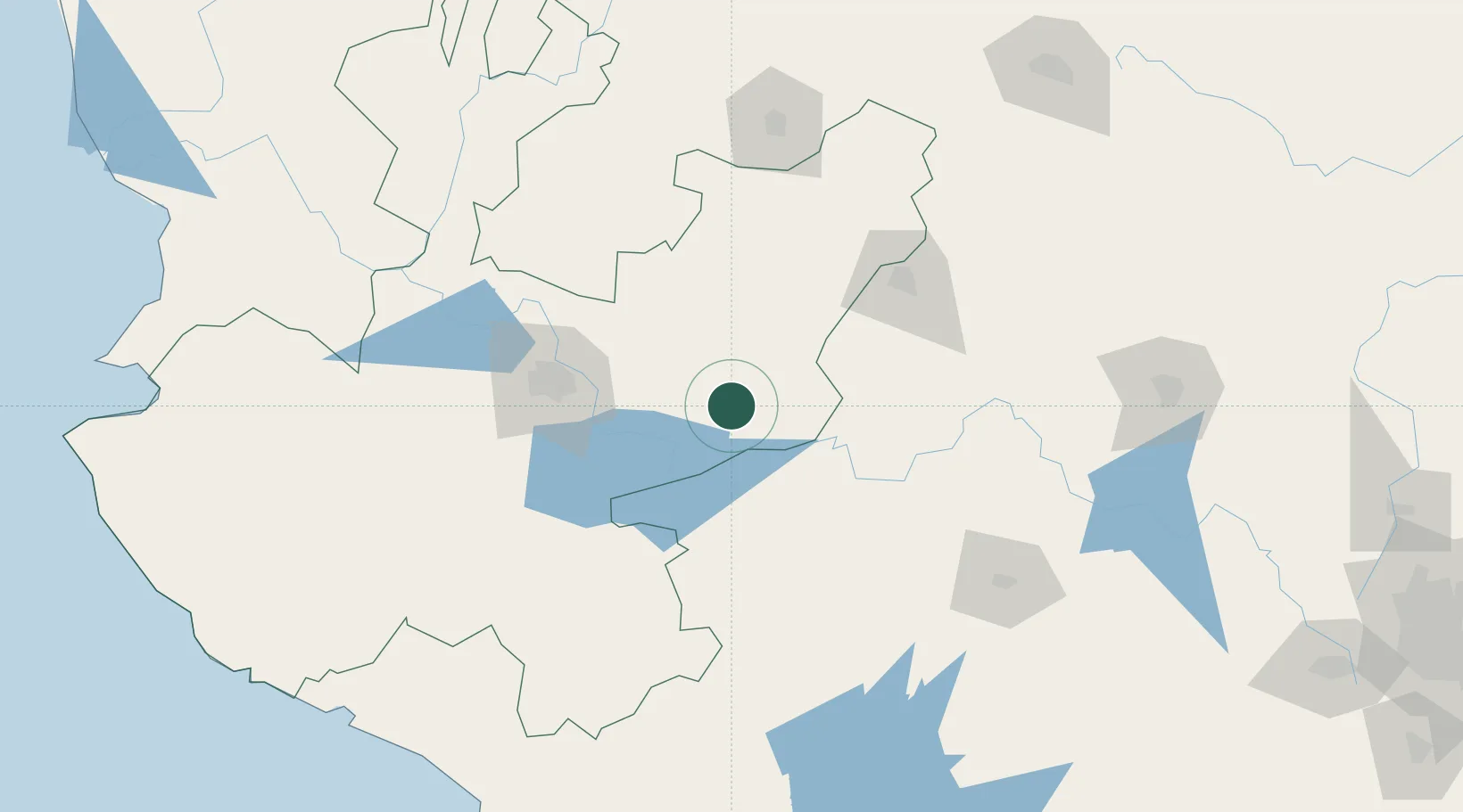
Atotonilco el Alto
20.5500°, -102.5000°
26,874
Population
3
Transport functions
Transport Functions
Rail
Road
Multimodal
Hub Profile
Place type
Provincial seat
Region
Jalisco
Population
26,874
Time zone
America/Mexico_City
Elevation
1,604 m
Location
Nearby Logistics Neighbours
Cities
- 1Ocotlan37 km
- 2Tepatitlán de Morelos38 km
- 3Zapotlan del Rey45 km
- 4Acatic48 km
- 5Ecuandureo53 km
Ports
- 1Manzanillo253 km
- 2Puerto Vallarta288 km
- 3Lazaro Cardenas293 km
- 4Acapulco492 km
- 5Mazatlan500 km
Airports
Trade Zones
- 1The Special Economic Zone of Lázaro Cárdenas - La Unión294 km
- 2FTZ No. 095 Starr County749 km
- 3FTZ No. 012 McAllen758 km
- 4FTZ No. 156 Weslaco773 km
- 5FTZ No. 157 Casper773 km
DatabookThe Record of Consolidated Knowledge
Mexico beyond logistics?