UN/LOCODE hub · Mexico
MXLPC
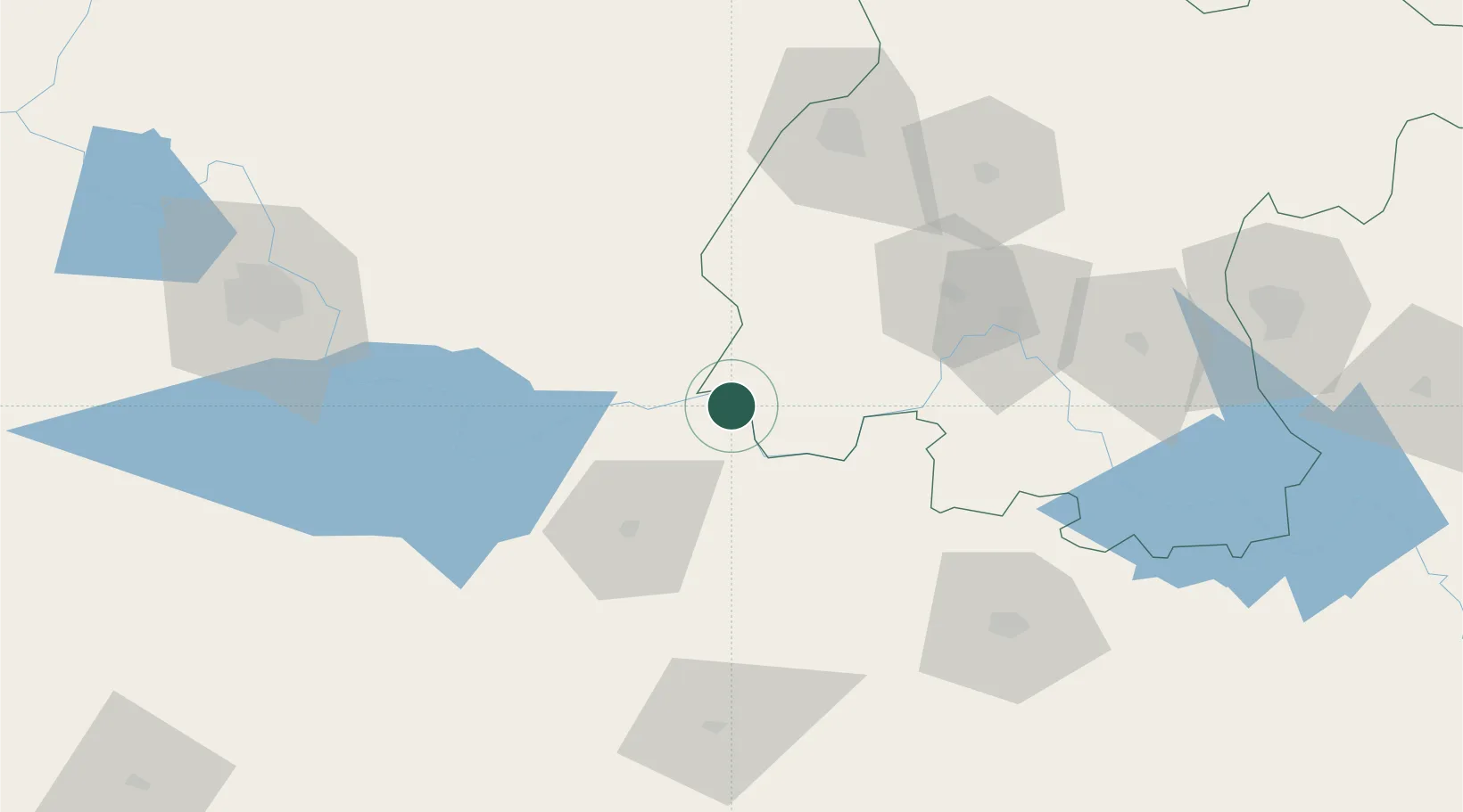
La Piedad de Cabadas
20.3500°, -102.0000°
83,323
Population
2
Transport functions
Transport Functions
Rail
Road
Hub Profile
Place type
Provincial seat
Region
Michoacán
Population
83,323
Time zone
America/Mexico_City
Elevation
1,647 m
Location
Nearby Logistics Neighbours
Cities
- 1Ecuandureo29 km
- 2Zamora49 km
- 3Atotonilco el Alto57 km
- 4Santiago Tangamandapio63 km
- 5Zakapu65 km
Ports
- 1Lazaro Cardenas269 km
- 2Manzanillo282 km
- 3Puerto Vallarta342 km
- 4Acapulco446 km
- 5Tampico476 km
Airports
Trade Zones
- 1The Special Economic Zone of Lázaro Cárdenas - La Unión270 km
- 2FTZ No. 095 Starr County745 km
- 3FTZ No. 012 McAllen749 km
- 4FTZ No. 156 Weslaco763 km
- 5FTZ No. 157 Casper763 km
DatabookThe Record of Consolidated Knowledge
Mexico beyond logistics?