Transport Functions
Road
Multimodal
Hub Profile
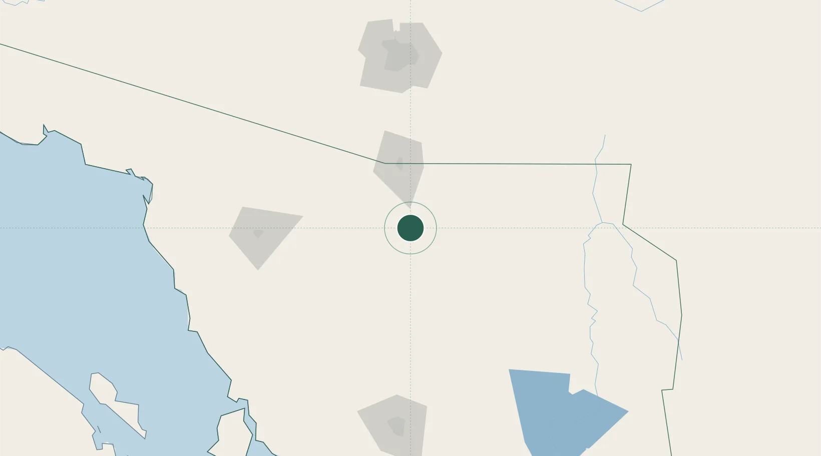
Place type
Populated place
Region
Sonora
Population
6,841
Time zone
America/Hermosillo
Elevation
867 m
Location
Nearby Logistics Neighbours
Cities
- 1Magdalena de Kino19 km
- 2Cananea59 km
- 3Santa Ana74 km
- 4Arizpe82 km
- 5Tubac95 km
Ports
- 1Guaymas319 km
- 2Santa Rosalia408 km
- 3Isla San Marcos418 km
- 4Puerto Morro Redondo518 km
- 5Ensenada562 km
Airports
Trade Zones
- 1FTZ No. 060 Nogales63 km
- 2FTZ No. 139 Sierra Vista101 km
- 3FTZ No. 174 Pima County168 km
- 4FTZ No. 221 Mesa307 km
- 5FTZ No. 075 Phoenix318 km
DatabookThe Record of Consolidated Knowledge
Mexico beyond logistics?