UN/LOCODE hub · Mexico
MXMDK
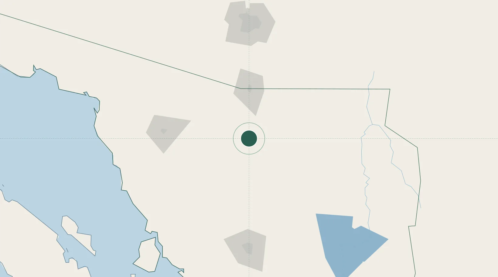
Magdalena de Kino
30.6333°, -110.9500°
26,605
Population
2
Transport functions
Transport Functions
Rail
Road
Hub Profile
Place type
Provincial seat
Region
Sonora
Population
26,605
Time zone
America/Hermosillo
Elevation
779 m
Location
Nearby Logistics Neighbours
Ports
- 1Guaymas302 km
- 2Santa Rosalia389 km
- 3Isla San Marcos400 km
- 4Puerto Morro Redondo501 km
- 5Ensenada557 km
Airports
Trade Zones
- 1FTZ No. 060 Nogales79 km
- 2FTZ No. 139 Sierra Vista120 km
- 3FTZ No. 174 Pima County184 km
- 4FTZ No. 221 Mesa320 km
- 5FTZ No. 075 Phoenix331 km
DatabookThe Record of Consolidated Knowledge
Mexico beyond logistics?