Medium airport · Mexico

Uruapan - Licenciado y General Ignacio Lopez Rayon International AirportMMPN

19.3967°, -102.0390°
7,874 ft
Longest runway
1
Runways
5,258 ft
Elevation

Runway & Layout

Uruapan - Licenciado y General Ignacio Lopez Rayon International Airport runway & taxiway layout
Runway & taxiway layout — OpenStreetMap (ODbL) / OurAirports

Radio Frequencies

TWR
118.2 MHz
URUAPAN TWR
OurAirports

Navaids

UPN VOR-DME Uruapan 114.20 MHz
OurAirports

Runways · 1

RunwayDimensions SurfaceTrue headingLit
02/20 7,874 × 148ft Asphalt 031°
OurAirports

Airport Specifications

IATA code
UPN
OurAirports
ICAO code
MMPN
OurAirports
Airport class
Medium airport
OurAirports
Scheduled service
Yes
OurAirports
Runway surface
Asphalt
OurAirports
Served city
Uruapan
OurAirports

Location

Location of MMPN
Natural Earth 10m (public domain) · Michoacán · MMPN · 19.40, -102.04GoogleOSMYandex

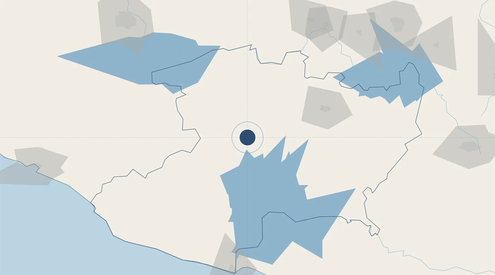
Nearby Logistics Neighbours

Cities
  1. 1Uruapan del Progreso4 km
  2. 2Periban42 km
  3. 3Zakapu51 km
  4. 4Tingüindín61 km
  5. 5Zamora69 km
Nearest neighbours — logibook spatial index (haversine) over the source coordinates
Ports
  1. 1Lazaro Cardenas163 km
  2. 2Manzanillo242 km
  3. 3Acapulco360 km
  4. 4Puerto Vallarta364 km
  5. 5Tuxpan514 km
Nearest neighbours — logibook spatial index (haversine) over the source coordinates
Trade Zones
  1. 1The Special Economic Zone of Lázaro Cárdenas - La Unión164 km
  2. 2Special Economic Zone of Salina Cruz804 km
  3. 3Special Economic Zone of Coatzacoalcos806 km
  4. 4FTZ No. 095 Starr County843 km
  5. 5FTZ No. 012 McAllen844 km
Nearest neighbours — logibook spatial index (haversine) over the source coordinates
DatabookThe Record of Consolidated Knowledge
Mexico beyond logistics?
Browse databook

All Sources

AirportsOurAirports
Public domain
Portsthe NGA World Port Index
Public domain (US gov)
LocationsUN/LOCODE
UN/LOCODE — free
Trade Zonesthe World Bank SEZ database
CC BY 4.0
Trade ZonesOpen Zone Map
CC BY
InfrastructureOpenStreetMap
ODbL 1.0
← Mexico airports