UN/LOCODE hub · Mexico
MXMOR

Moroleón

20.1333°, -101.2000°
43,200
Population
2
Transport functions

Transport Functions

Road
Multimodal
UN/LOCODE

Hub Profile

Place type
Provincial seat
GeoNames
Region
Guanajuato
GeoNames
Population
43,200
GeoNames
Time zone
America/Mexico_City
GeoNames
Elevation
1,815 m
GeoNames

Location

Location of MXMOR
Natural Earth 10m (public domain) · Guanajuato · MXMOR · 20.13, -101.20GoogleOSMYandex

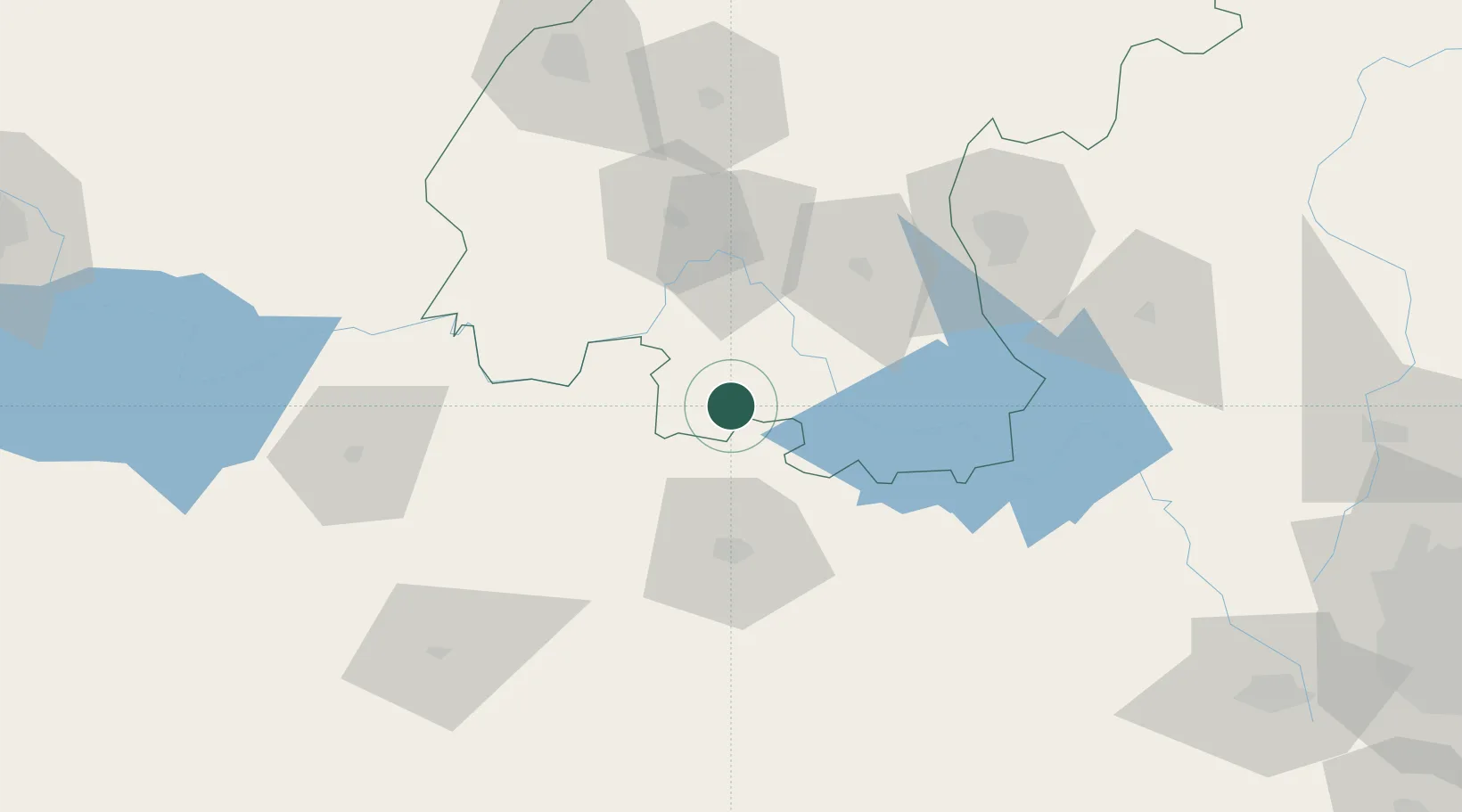
Nearby Logistics Neighbours

Cities
  1. 1Celaya58 km
  2. 2Tiripetío66 km
  3. 3Apaseo el Grande71 km
  4. 4Zakapu73 km
  5. 5Ciudad Hidalgo83 km
Nearest neighbours — logibook spatial index (haversine) over the source coordinates
Ports
  1. 1Lazaro Cardenas265 km
  2. 2Manzanillo348 km
  3. 3Acapulco389 km
  4. 4Tuxpan406 km
  5. 5Tampico416 km
Nearest neighbours — logibook spatial index (haversine) over the source coordinates
Trade Zones
  1. 1The Special Economic Zone of Lázaro Cárdenas - La Unión266 km
  2. 2FTZ No. 012 McAllen733 km
  3. 3FTZ No. 095 Starr County736 km
  4. 4Special Economic Zone of Coatzacoalcos738 km
  5. 5FTZ No. 156 Weslaco744 km
Nearest neighbours — logibook spatial index (haversine) over the source coordinates
DatabookThe Record of Consolidated Knowledge
Mexico beyond logistics?
Browse databook

All Sources

LocationsUN/LOCODE
UN/LOCODE — free
LocationsGeoNames
CC BY 4.0
Portsthe NGA World Port Index
Public domain (US gov)
AirportsOurAirports
Public domain
Trade Zonesthe World Bank SEZ database
CC BY 4.0
Trade ZonesOpen Zone Map
CC BY
← Mexico locations