Large airport · Mexico

Manuel Crescencio Rejón International AirportMMMD
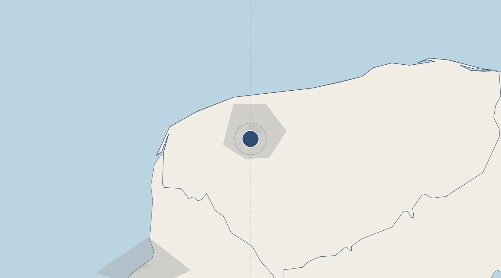
20.9305°, -89.6455°
10,499 ft
Longest runway
2
Runways
38 ft
Elevation

Runway & Layout

Manuel Crescencio Rejón International Airport runway & taxiway layout
Runway & taxiway layout — OpenStreetMap (ODbL) / OurAirports

Radio Frequencies

ATIS
127.9 MHz
TWR
118.3 MHz
MERIDA TWR
APP
121.2 MHz
MERIDA APPROACH
INFO
126.9 MHz
MERIDA INFO
OurAirports

Navaids

MID VOR-DME Merida 117.70 MHz
MPG NDB Progreso 280 kHz
OurAirports

Runways · 2

RunwayDimensions SurfaceTrue headingLit
10/28 10,499 × 151ft Asphalt 105°
18/36 7,546 × 151ft Asphalt 181°
OurAirports

Airport Specifications

IATA code
MID
OurAirports
ICAO code
MMMD
OurAirports
Airport class
Large airport
OurAirports
Scheduled service
Yes
OurAirports
Runway surface
Asphalt
OurAirports
Served city
Mérida
OurAirports

Location

Location of MMMD
Natural Earth 10m (public domain) · Yucatán · MMMD · 20.93, -89.65GoogleOSMYandex

Nearby Logistics Neighbours

Airports
  1. 1Ingeniero Alberto Acuña Ongay International Airport153 km
  2. 2Felipe Carrillo Puerto International Airport Tulum223 km
  3. 3Cozumel International Airport286 km
  4. 4Cancún International Airport288 km
  5. 5Chetumal International Airport303 km
Nearest neighbours — logibook spatial index (haversine) over the source coordinates
Cities
  1. 1Mérida5 km
  2. 2Hunucmá16 km
  3. 3Tixkokob27 km
  4. 4Progreso38 km
  5. 5Tenabó116 km
Nearest neighbours — logibook spatial index (haversine) over the source coordinates
Ports
  1. 1Progreso39 km
  2. 2Campeche153 km
  3. 3Cayo Arcas Terminal258 km
  4. 4Punta Venado264 km
  5. 5San Miguel De Cozumel283 km
Nearest neighbours — logibook spatial index (haversine) over the source coordinates
Trade Zones
  1. 1Special Economic Zone of Progreso26 km
  2. 2Special Economic Zone of Campeche179 km
  3. 3Corozol Free Zone302 km
  4. 4Special Economic Zone of Chetumal304 km
  5. 5San Andres Export Processing Zone312 km
Nearest neighbours — logibook spatial index (haversine) over the source coordinates
DatabookThe Record of Consolidated Knowledge
Mexico beyond logistics?
Browse databook

All Sources

AirportsOurAirports
Public domain
Portsthe NGA World Port Index
Public domain (US gov)
LocationsUN/LOCODE
UN/LOCODE — free
Trade Zonesthe World Bank SEZ database
CC BY 4.0
Trade ZonesOpen Zone Map
CC BY
InfrastructureOpenStreetMap
ODbL 1.0
← Mexico airports