Transport Functions
Port
Hub Profile
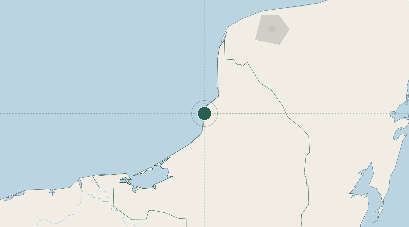
Place type
Populated place
Region
Campeche
Population
8,711
Time zone
America/Merida
Elevation
7 m
Location
Nearby Logistics Neighbours
Cities
- 1Tenabó66 km
- 2Takuntah105 km
- 3Cayo Arcas Terminal145 km
- 4Ciudad del Carmen164 km
- 5Hunucmá169 km
Ports
- 1Campeche27 km
- 2Cayo Arcas Terminal146 km
- 3Ciudad Del Carmen167 km
- 4Progreso211 km
- 5Frontera240 km
Airports
Trade Zones
DatabookThe Record of Consolidated Knowledge
Mexico beyond logistics?