Large airport · Mexico

Adolfo López Mateos International AirportMMTO
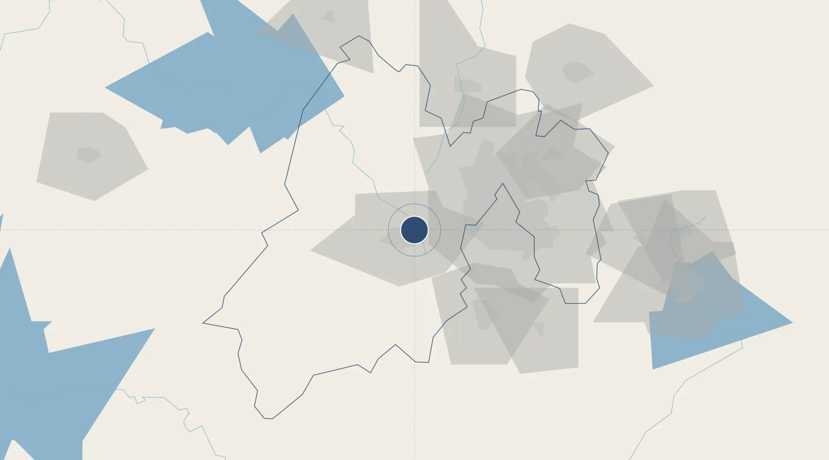
19.3369°, -99.5658°
13,780 ft
Longest runway
1
Runways
8,466 ft
Elevation

Runway & Layout

Adolfo López Mateos International Airport runway & taxiway layout
Runway & taxiway layout — OpenStreetMap (ODbL) / OurAirports

Radio Frequencies

ATIS
127.8 MHz
TWR
118 MHz
TOLUCA TWR
APP
128.9 MHz
TOLUCA APP
OurAirports

Navaids

TLC VOR-DME Toluca 114.30 MHz
OurAirports

Runways · 1

RunwayDimensions SurfaceTrue headingLit
15/33 13,780 × 148ft Asphalt 157°
OurAirports

Airport Specifications

IATA code
TLC
OurAirports
ICAO code
MMTO
OurAirports
Airport class
Large airport
OurAirports
Scheduled service
Yes
OurAirports
Runway surface
Asphalt
OurAirports
Served city
Toluca
OurAirports

Location

Location of MMTO
Natural Earth 10m (public domain) · México · MMTO · 19.34, -99.57GoogleOSMYandex

Nearby Logistics Neighbours

Airports
  1. 1Helipuerto VZ Flights39 km
  2. 2Helipuerto El Universal45 km
  3. 3Mexico City Benito Juárez International Airport53 km
  4. 4Helipuerto Ciudad de México54 km
  5. 5General Mariano Matamoros International Airport64 km
Nearest neighbours — logibook spatial index (haversine) over the source coordinates
Cities
  1. 1San Pedro Totoltepec4 km
  2. 2Ocoyoacac14 km
  3. 3Zinacantepec19 km
  4. 4San Antonio la Isla21 km
  5. 5Huixquilucan de Degollado21 km
Nearest neighbours — logibook spatial index (haversine) over the source coordinates
Ports
  1. 1Acapulco279 km
  2. 2Tuxpan289 km
  3. 3Lazaro Cardenas315 km
  4. 4Veracruz361 km
  5. 5Tampico366 km
Nearest neighbours — logibook spatial index (haversine) over the source coordinates
Trade Zones
  1. 1The Special Economic Zone of Lázaro Cárdenas - La Unión316 km
  2. 2Special Economic Zone of Coatzacoalcos550 km
  3. 3Special Economic Zone of Salina Cruz578 km
  4. 4Zona Economica Especial de Tabasco672 km
  5. 5FTZ No. 062 Brownsville768 km
Nearest neighbours — logibook spatial index (haversine) over the source coordinates
DatabookThe Record of Consolidated Knowledge
Mexico beyond logistics?
Browse databook

All Sources

AirportsOurAirports
Public domain
Portsthe NGA World Port Index
Public domain (US gov)
LocationsUN/LOCODE
UN/LOCODE — free
Trade Zonesthe World Bank SEZ database
CC BY 4.0
Trade ZonesOpen Zone Map
CC BY
InfrastructureOpenStreetMap
ODbL 1.0
← Mexico airports