UN/LOCODE hub · Mexico
MXZLR
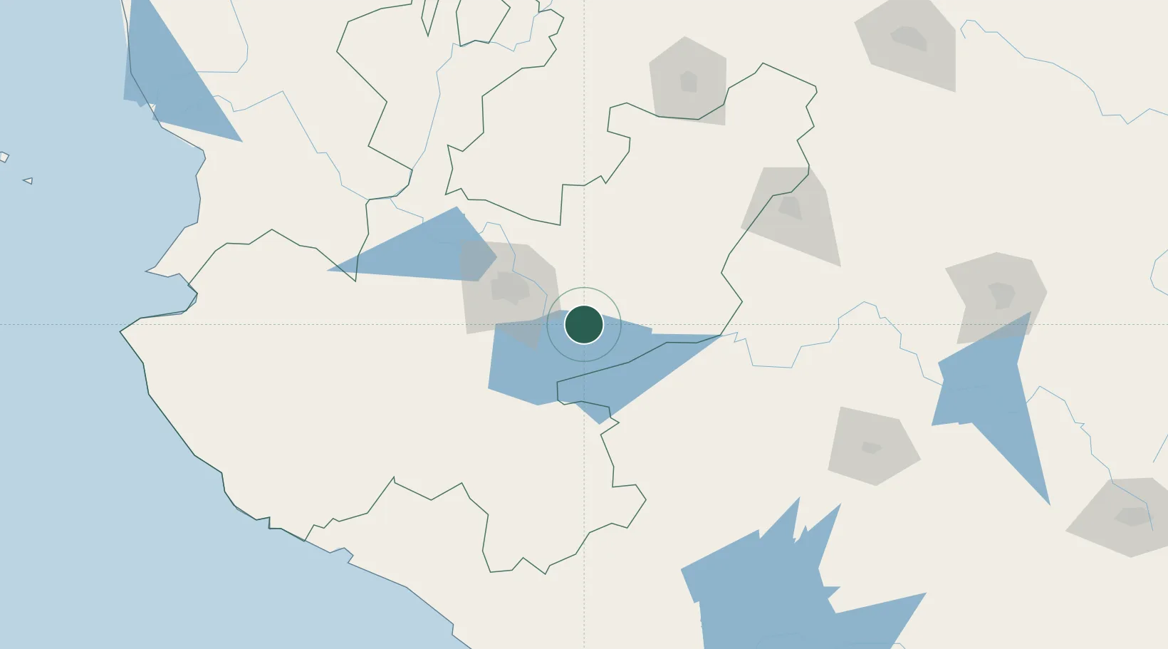
Zapotlan del Rey
20.4500°, -102.9167°
3,280
Population
1
Transport functions
Transport Functions
Multimodal
Hub Profile
Place type
Populated place
Region
Jalisco
Population
3,280
Time zone
America/Mexico_City
Elevation
1,553 m
Location
Nearby Logistics Neighbours
Cities
- 1Ocotlan20 km
- 2Atotonilquillo23 km
- 3Atequiza23 km
- 4Ixtlahuacan de los Membrillos30 km
- 5Chapala34 km
Ports
- 1Manzanillo214 km
- 2Puerto Vallarta245 km
- 3Lazaro Cardenas291 km
- 4Mazatlan473 km
- 5Acapulco509 km
Airports
Trade Zones
- 1The Special Economic Zone of Lázaro Cárdenas - La Unión291 km
- 2FTZ No. 095 Starr County781 km
- 3FTZ No. 012 McAllen792 km
- 4FTZ No. 156 Weslaco808 km
- 5FTZ No. 157 Casper808 km
DatabookThe Record of Consolidated Knowledge
Mexico beyond logistics?