UN/LOCODE hub · Mexico
MXSCF

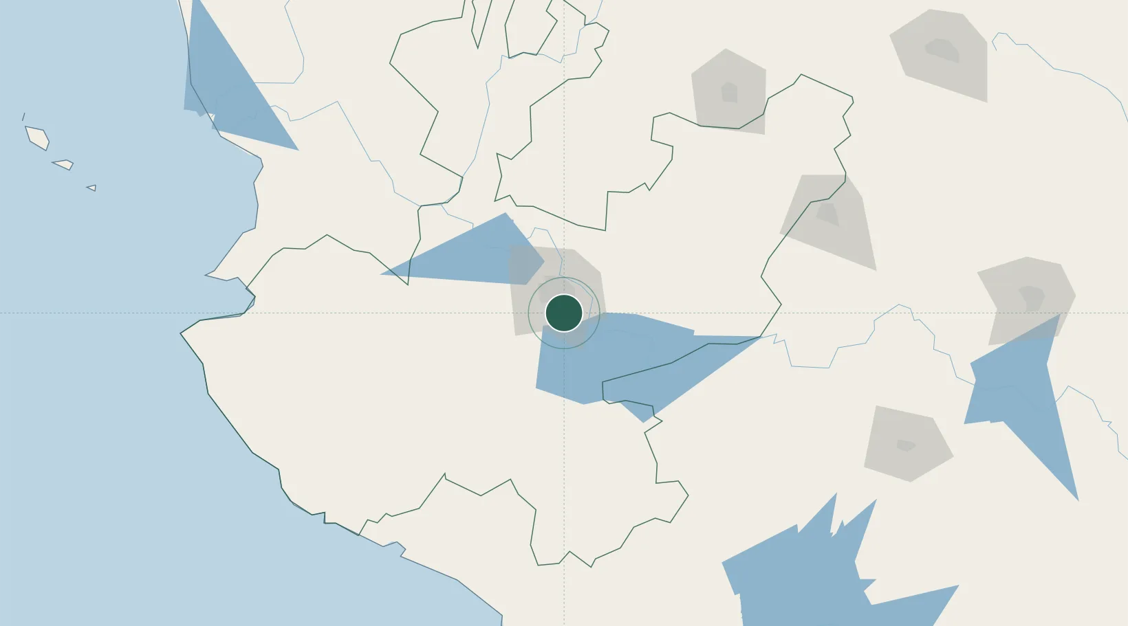
Santa Cruz de las Flores

20.5333°, -103.3167°
11,204
Population
1
Transport functions

Transport Functions

Multimodal
UN/LOCODE

Hub Profile

Place type
Populated place
GeoNames
Region
Jalisco
GeoNames
Population
11,204
GeoNames
Time zone
America/Mexico_City
GeoNames
Elevation
1,513 m
GeoNames

Location

Location of MXSCF
Natural Earth 10m (public domain) · Jalisco · MXSCF · 20.53, -103.32GoogleOSMYandex

Nearby Logistics Neighbours

Cities
  1. 1Tlajomulco de Zúñiga17 km
  2. 2Atotonilquillo24 km
  3. 3Atequiza24 km
  4. 4Ixtlahuacan de los Membrillos25 km
  5. 5Chapala29 km
Nearest neighbours — logibook spatial index (haversine) over the source coordinates
Ports
  1. 1Manzanillo195 km
  2. 2Puerto Vallarta203 km
  3. 3Lazaro Cardenas313 km
  4. 4Mazatlan436 km
  5. 5Acapulco543 km
Nearest neighbours — logibook spatial index (haversine) over the source coordinates
Airports
  1. 1Guadalajara International Airport1 km
  2. 2Unitec Guadalajara Helipad22 km
  3. 3Agricola La Tuxcana Airport113 km
  4. 4Licenciado Miguel de la Madrid International Airport142 km
  5. 5Aguascalientes International Airport166 km
Nearest neighbours — logibook spatial index (haversine) over the source coordinates
Trade Zones
  1. 1The Special Economic Zone of Lázaro Cárdenas - La Unión314 km
  2. 2FTZ No. 095 Starr County795 km
  3. 3FTZ No. 012 McAllen809 km
  4. 4FTZ No. 156 Weslaco826 km
  5. 5FTZ No. 157 Casper826 km
Nearest neighbours — logibook spatial index (haversine) over the source coordinates
DatabookThe Record of Consolidated Knowledge
Mexico beyond logistics?
Browse databook

All Sources

LocationsUN/LOCODE
UN/LOCODE — free
LocationsGeoNames
CC BY 4.0
Portsthe NGA World Port Index
Public domain (US gov)
AirportsOurAirports
Public domain
Trade Zonesthe World Bank SEZ database
CC BY 4.0
Trade ZonesOpen Zone Map
CC BY
← Mexico locations