Transport Functions
Multimodal
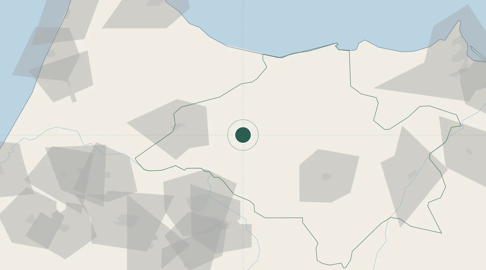
Hub Profile
Place type
District seat
Region
Fès-Meknès
Population
41,075
Time zone
Africa/Casablanca
Elevation
600 m
Location
Nearby Logistics Neighbours
Cities
- 1Sefrou83 km
- 2Al Hoceïma102 km
- 3Souq Larb'A Al Gharb121 km
- 4Tétouan131 km
- 5Allal Tazi153 km
Ports
- 1Port D Al Hoceima103 km
- 2Ceuta162 km
- 3Tangier-Mediterranean170 km
- 4Tanger173 km
- 5Port Nador177 km
Airports
- 1Fes Saïss International Airport76 km
- 2Cherif Al Idrissi Airport102 km
- 3Bassatine Airport109 km
- 4Sania Ramel Airport131 km
- 5Nador Al Aaroui International Airport156 km
Trade Zones
- 1Fès Shore Industrial Park67 km
- 2Ait Kamra Economic Activity Zone92 km
- 3Meknès Agropolis110 km
- 4Tetouan Shore Industrial Park136 km
- 5Nador WestMed Free Zone155 km
DatabookThe Record of Consolidated Knowledge
Morocco beyond logistics?