Transport Functions
Road
Multimodal
Hub Profile
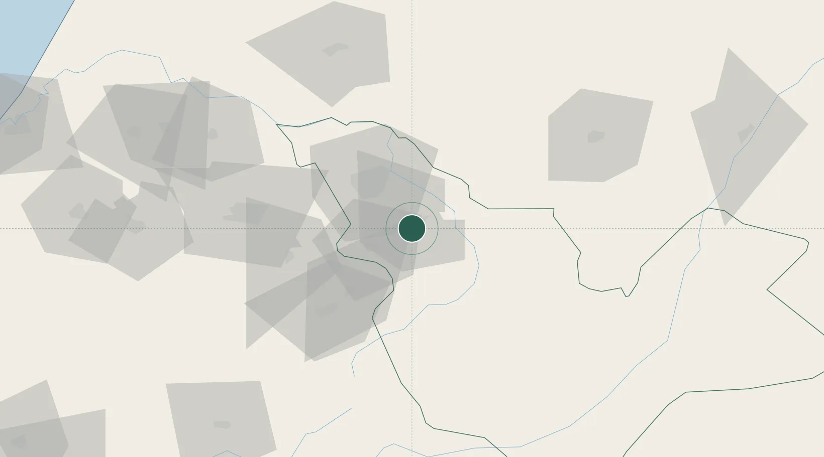
Place type
District seat
Region
Fès-Meknès
Population
87,234
Time zone
Africa/Casablanca
Elevation
809 m
Location
Nearby Logistics Neighbours
Cities
- 1Taounate83 km
- 2Souq Larb'A Al Gharb142 km
- 3Allal Tazi158 km
- 4Ar Rommani168 km
- 5Selouane178 km
Ports
- 1Kenitra173 km
- 2Port D Al Hoceima179 km
- 3Ceuta236 km
- 4Tanger237 km
- 5Port Nador237 km
Airports
- 1Fes Saïss International Airport19 km
- 2Bassatine Airport65 km
- 3Kenitra Air Base173 km
- 4Cherif Al Idrissi Airport176 km
- 5Rabat-Salé Airport180 km
Trade Zones
- 1Fès Shore Industrial Park25 km
- 2Meknès Agropolis60 km
- 3Kénitra Atlantic Free Zone154 km
- 4Zona Franca Kenitra Atlantic154 km
- 5Ait Kamra Economic Activity Zone168 km
DatabookThe Record of Consolidated Knowledge
Morocco beyond logistics?