Seaport · Spain

CeutaESCEU

35.9000°, -5.3167°
1
Container terminals
11.0
Port liner connectivity
Ceuta is also a UN/LOCODE logistics hub →

Channel & Berth Profile

SEA LEVEL (CD)CHANNEL BEDOil terminal · 7.9 mCargo pier · 11.0 mAnchorage · 23.2 m
NGA World Port Index

Pilotage, Tugs & Services

Pilotage compulsoryYES
Pilotage availableYES
Tug assistanceYES
Shore powerYES
Potable waterYES
Diesel bunkersYES
MedicalYES
Garbage disposalYES
NGA World Port Index

Facilities & Capabilities

Container
Ro-Ro
Liquid bulk
Dry bulk
Oil terminal
Break bulk
Dry dock
RepairsNO
BunkeringYES
Rail link
Dangerous cargo
ISPS security
NGA World Port Index

Harbour Specifications

Harbour size
Medium
NGA World Port Index
Harbour type
Coastal (Breakwater)
NGA World Port Index
Shelter
Fair
NGA World Port Index
Water body
Strait of Gibraltar; North Atlantic Ocean
NGA World Port Index
Tidal range
1 m
NGA World Port Index
Overhead limit
No
NGA World Port Index
Pilotage
Yes
NGA World Port Index

Liner Connectivity

11
PLSCI

Port Liner Shipping Connectivity Index for Ceuta, as published by UNCTAD for the latest available quarter. Higher values indicate stronger scheduled liner-shipping integration.

Shown relative to the highest per-port PLSCI in the dataset (1,657.9).
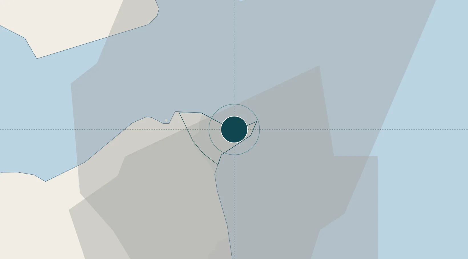
UNCTAD · Port Liner Shipping Connectivity Index

Location

Location of ESCEU
Natural Earth 10m (public domain) · Ceuta · ESCEU · 35.90, -5.32GoogleOSMYandex

Container Terminals · 1

DIQUE DE PONIENTE CEUTA
CETRU
SMDG Terminal Code List

Nearby Logistics Neighbours

Ports
  1. 1Tangier-Mediterranean18 km
  2. 2Algeciras28 km
  3. 3Tanger47 km
  4. 4Cadiz113 km
  5. 5Rota121 km
Nearest neighbours — logibook spatial index (haversine) over the source coordinates
Cities
  1. 1Tanger Med21 km
  2. 2Waterport26 km
  3. 3Algeciras30 km
  4. 4Tétouan38 km
  5. 5Sotogrande43 km
Nearest neighbours — logibook spatial index (haversine) over the source coordinates
Airports
  1. 1Ceuta Heliport1 km
  2. 2Algeciras Heliport28 km
  3. 3Gibraltar Airport28 km
  4. 4Sania Ramel Airport34 km
  5. 5Tangier Ibn Battuta Airport58 km
Nearest neighbours — logibook spatial index (haversine) over the source coordinates
Trade Zones
  1. 1Autonomous City of Ceuta1 km
  2. 2Tanger Med Ksar el Majaz Mellousa Freeport23 km
  3. 3Depósito Franco de Algeciras27 km
  4. 4Tetouan Shore Industrial Park28 km
  5. 5Tanger Automotive City40 km
Nearest neighbours — logibook spatial index (haversine) over the source coordinates
DatabookThe Record of Consolidated Knowledge
Spain beyond logistics?
Browse databook

All Sources

Portsthe NGA World Port Index
Public domain (US gov)
Logistics performanceUNCTAD
CC BY 3.0 IGO
Portsthe SMDG Terminal Code List
UN/LOCODE — free, attribution
AirportsOurAirports
Public domain
LocationsUN/LOCODE
UN/LOCODE — free
Trade Zonesthe World Bank SEZ database
CC BY 4.0
Trade ZonesOpen Zone Map
CC BY
← Spain ports