UN/LOCODE hub · Morocco
MA6KN
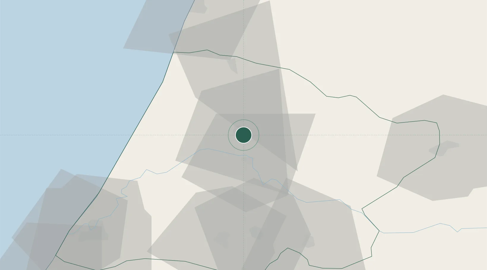
Souq Larb'A Al Gharb
34.6667°, -5.9667°
44,059
Population
2
Transport functions
Transport Functions
Port
Multimodal
Hub Profile
Place type
District seat
Region
Rabat-Salé-Kénitra
Population
44,059
Time zone
Africa/Casablanca
Elevation
37 m
Location
Nearby Logistics Neighbours
Cities
- 1Allal Tazi37 km
- 2Salé104 km
- 3Tétouan113 km
- 4Taounate121 km
- 5Tangier125 km
Ports
- 1Kenitra71 km
- 2Tanger125 km
- 3Tangier-Mediterranean143 km
- 4Ceuta149 km
- 5Mohammedia169 km
Airports
- 1Kenitra Air Base71 km
- 2Bassatine Airport97 km
- 3Rabat-Salé Airport99 km
- 4Tangier Ibn Battuta Airport119 km
- 5Sania Ramel Airport119 km
Trade Zones
- 1Kénitra Atlantic Free Zone55 km
- 2Zona Franca Kenitra Atlantic55 km
- 3Technopolis102 km
- 4Meknès Agropolis104 km
- 5Tanger Free Export Zone117 km
DatabookThe Record of Consolidated Knowledge
Morocco beyond logistics?