UN/LOCODE hub · Morocco
MATTU

Tétouan

35.5667°, -5.3833°
415,810
Population
2
Transport functions

Transport Functions

Port
Airport
UN/LOCODE

Hub Profile

Place type
Provincial seat
GeoNames
Region
Tanger-Tetouan-Al Hoceima
GeoNames
Population
415,810
GeoNames
Time zone
Africa/Casablanca
GeoNames
Elevation
121 m
GeoNames

Location

Location of MATTU
Natural Earth 10m (public domain) · Tanger-Tetouan-Al Hoceima · MATTU · 35.57, -5.38GoogleOSMYandex

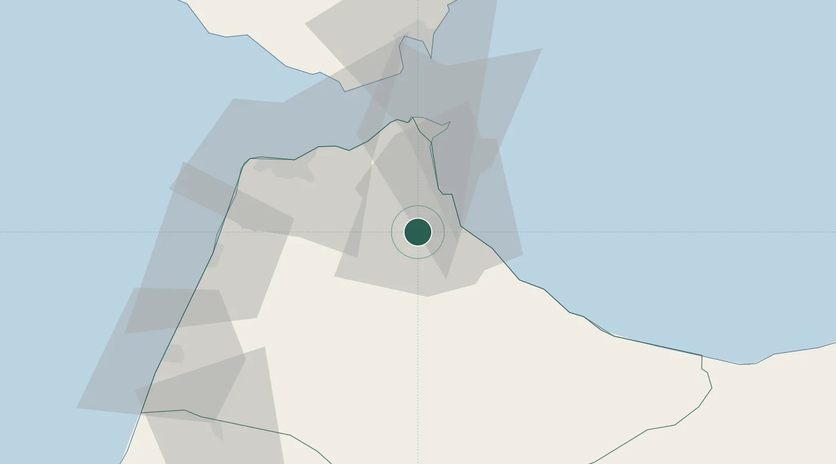
Nearby Logistics Neighbours

Cities
  1. 1Tanger Med35 km
  2. 2Ceuta37 km
  3. 3Tangier46 km
  4. 4Waterport63 km
  5. 5Algeciras65 km
Nearest neighbours — logibook spatial index (haversine) over the source coordinates
Ports
  1. 1Ceuta38 km
  2. 2Tangier-Mediterranean39 km
  3. 3Tanger46 km
  4. 4Algeciras63 km
  5. 5Cadiz135 km
Nearest neighbours — logibook spatial index (haversine) over the source coordinates
Airports
  1. 1Sania Ramel Airport7 km
  2. 2Ceuta Heliport37 km
  3. 3Tangier Ibn Battuta Airport52 km
  4. 4Algeciras Heliport63 km
  5. 5Gibraltar Airport65 km
Nearest neighbours — logibook spatial index (haversine) over the source coordinates
Trade Zones
  1. 1Tetouan Shore Industrial Park12 km
  2. 2Tanger Automotive City31 km
  3. 3Tanger Med Ksar el Majaz Mellousa Freeport35 km
  4. 4Autonomous City of Ceuta36 km
  5. 5Tanger Free Export Zone51 km
Nearest neighbours — logibook spatial index (haversine) over the source coordinates
DatabookThe Record of Consolidated Knowledge
Morocco beyond logistics?
Browse databook

All Sources

LocationsUN/LOCODE
UN/LOCODE — free
LocationsGeoNames
CC BY 4.0
Portsthe NGA World Port Index
Public domain (US gov)
AirportsOurAirports
Public domain
Trade Zonesthe World Bank SEZ database
CC BY 4.0
Trade ZonesOpen Zone Map
CC BY
← Morocco locations