Specialized Zone · Morocco
Meknès Agropolis Active
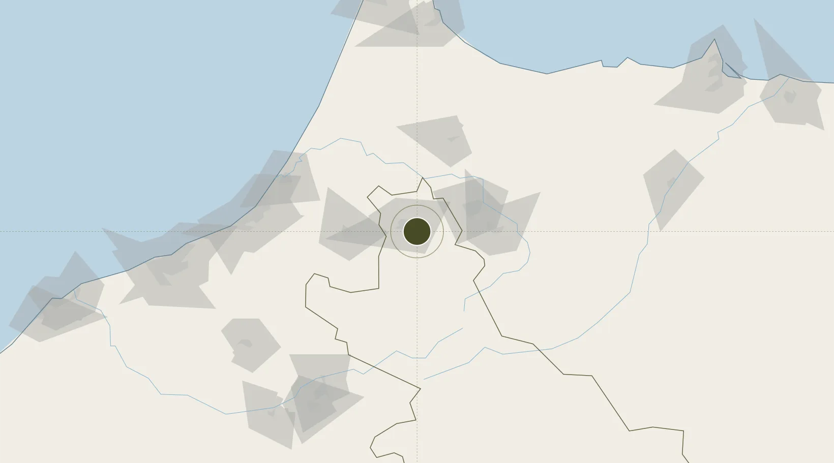
33.8284°, -5.4666°
466 ha
Zone area
116.8 km
Nearest port
7.2 km
Nearest airport
Gateway access
Zone profile
Zone type
Specialized Zone
Specialization
Agriculture
Region
Meknès - Tafilalet
Status
Active
Management
Private
Operator
MEDZ, CDG Group
Legal framework
Dahir No. 1-95-1 dated January 26, 1995
Location
Nearby Logistics Neighbours
Ports
- 1Kenitra117 km
- 2Mohammedia179 km
- 3Casablanca201 km
- 4Port D Al Hoceima213 km
- 5Tanger220 km
Airports
- 1Bassatine Airport7 km
- 2Fes Saïss International Airport46 km
- 3Kenitra Air Base116 km
- 4Rabat-Salé Airport121 km
- 5Beni Mellal Airport177 km
Cities
- 1Sefrou60 km
- 2Souq Larb'A Al Gharb104 km
- 3Allal Tazi108 km
- 4Taounate110 km
- 5Ar Rommani111 km
Trade Zones
- 1Fès Shore Industrial Park51 km
- 2Kénitra Atlantic Free Zone99 km
- 3Zona Franca Kenitra Atlantic99 km
- 4Technopolis117 km
- 5Casablanca MIDPARC Free Zone201 km
DatabookThe Record of Consolidated Knowledge
Morocco beyond logistics?