Large airport · Morocco
Fes Saïss International AirportGMFF
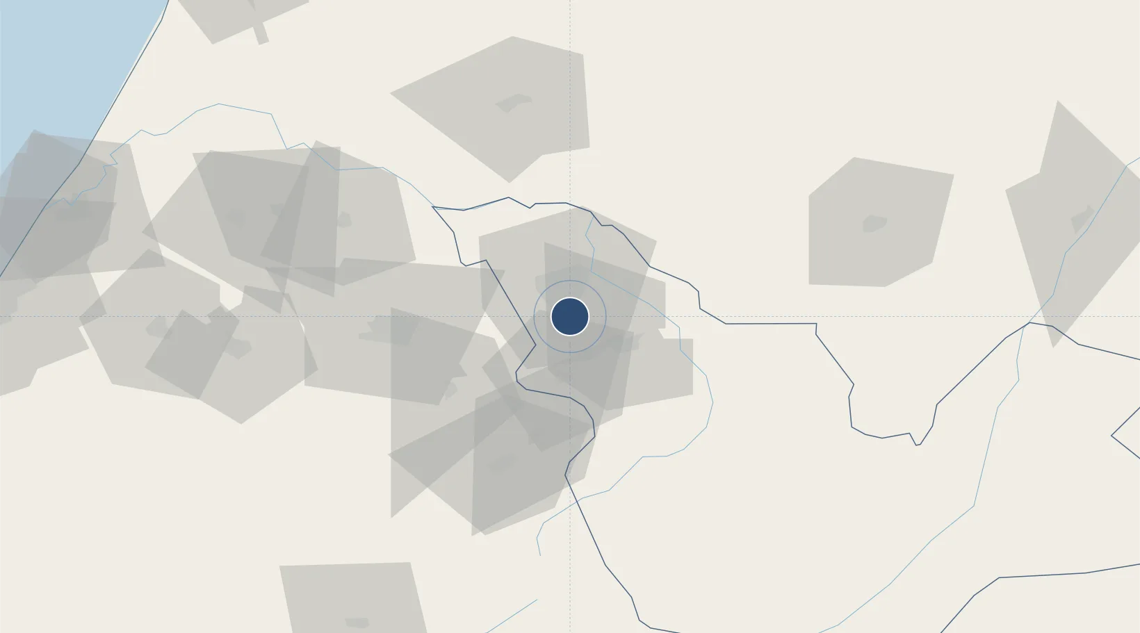
33.9273°, -4.9780°
10,499 ft
Longest runway
1
Runways
1,900 ft
Elevation
Runway & Layout

Radio Frequencies
TWR
118.6 MHz
Navaids
FES VOR-DME Saiss 115.70 MHz
Runways · 1
| Runway | Dimensions | Surface | True heading | Lit |
|---|---|---|---|---|
| 09/27 | 10,499 × 148ft | Asphalt | 090° | ✓ |
Airport Specifications
IATA code
FEZ
ICAO code
GMFF
Airport class
Large airport
Scheduled service
Yes
Runway surface
Asphalt
Served city
Saïss
Location
Nearby Logistics Neighbours
Airports
- 1Bassatine Airport50 km
- 2Kenitra Air Base155 km
- 3Rabat-Salé Airport164 km
- 4Cherif Al Idrissi Airport174 km
- 5Sania Ramel Airport188 km
Cities
- 1Sefrou19 km
- 2Taounate76 km
- 3Souq Larb'A Al Gharb123 km
- 4Allal Tazi139 km
- 5Ar Rommani157 km
Ports
- 1Kenitra155 km
- 2Port D Al Hoceima176 km
- 3Tanger220 km
- 4Ceuta222 km
- 5Tangier-Mediterranean225 km
Trade Zones
- 1Fès Shore Industrial Park9 km
- 2Meknès Agropolis46 km
- 3Kénitra Atlantic Free Zone135 km
- 4Zona Franca Kenitra Atlantic136 km
- 5Technopolis161 km
DatabookThe Record of Consolidated Knowledge
Morocco beyond logistics?