Seaport · Morocco

Tangier-MediterraneanMAPTM
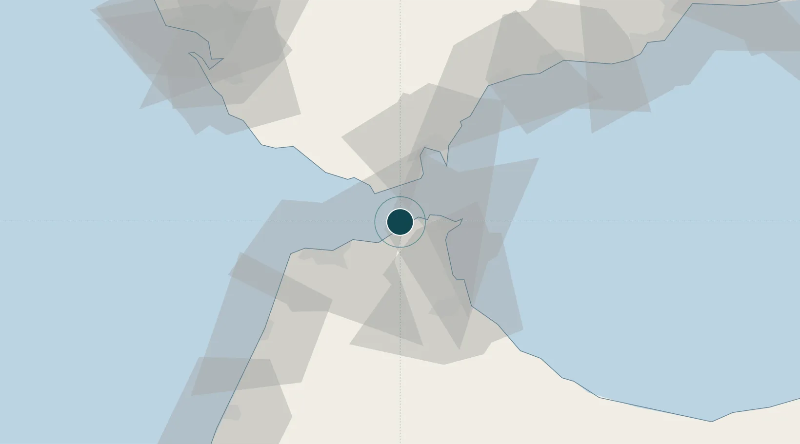
35.9000°, -5.5167°
4
Container terminals
570.9
Port liner connectivity
Tangier-Mediterranean is also a UN/LOCODE logistics hub →

Channel & Berth Profile

SEA LEVEL (CD)CHANNEL BEDCargo pier · 17.1 m
NGA World Port Index

Pilotage, Tugs & Services

Pilotage compulsoryYES
Pilotage availableYES
NGA World Port Index

Facilities & Capabilities

Container
Ro-Ro
Liquid bulk
Dry bulk
Oil terminal
Break bulk
Dry dock
Repairs
Bunkering
Rail link
Dangerous cargo
ISPS security
NGA World Port Index

Harbour Specifications

Harbour size
Large
NGA World Port Index
Harbour type
Coastal (Breakwater)
NGA World Port Index
Shelter
Good
NGA World Port Index
Water body
Strait of Gibraltar; North Atlantic Ocean
NGA World Port Index
Pilotage
Yes
NGA World Port Index

Liner Connectivity

570.9
PLSCI

Port Liner Shipping Connectivity Index for Tangier-Mediterranean, as published by UNCTAD for the latest available quarter. Higher values indicate stronger scheduled liner-shipping integration.

Shown relative to the highest per-port PLSCI in the dataset (1,657.9).

UNCTAD · Port Liner Shipping Connectivity Index

Location

Location of MAPTM
Natural Earth 10m (public domain) · Tanger - Tétouan · MAPTM · 35.90, -5.52GoogleOSMYandex

Container Terminals · 4

APM TERMINALS TANGIER MEDPORT 2
APM2 APM TERMINALS TANGIER
APM TERMINALS TANGIER
APMT
EUROGATE TANGIER
EURTN EUROGATE TANGIER S.A
TANGER ALLIANCE TERMINAL
TAT TANGER ALLIANCE (MARSA MAROC, EUROGATE)
SMDG Terminal Code List

Nearby Logistics Neighbours

Ports
  1. 1Ceuta18 km
  2. 2Algeciras27 km
  3. 3Tanger30 km
  4. 4Cadiz100 km
  5. 5Rota108 km
Nearest neighbours — logibook spatial index (haversine) over the source coordinates
Cities
  1. 1Ceuta17 km
  2. 2Algeciras28 km
  3. 3Waterport30 km
  4. 4Tangier30 km
  5. 5Tahivilla38 km
Nearest neighbours — logibook spatial index (haversine) over the source coordinates
Airports
  1. 1Ceuta Heliport19 km
  2. 2Algeciras Heliport26 km
  3. 3Gibraltar Airport32 km
  4. 4Sania Ramel Airport38 km
  5. 5Tangier Ibn Battuta Airport41 km
Nearest neighbours — logibook spatial index (haversine) over the source coordinates
Trade Zones
  1. 1Tanger Med Ksar el Majaz Mellousa Freeport8 km
  2. 2Autonomous City of Ceuta18 km
  3. 3Depósito Franco de Algeciras26 km
  4. 4Tanger Automotive City27 km
  5. 5Tetouan Shore Industrial Park34 km
Nearest neighbours — logibook spatial index (haversine) over the source coordinates
DatabookThe Record of Consolidated Knowledge
Morocco beyond logistics?
Browse databook

All Sources

Portsthe NGA World Port Index
Public domain (US gov)
Logistics performanceUNCTAD
CC BY 3.0 IGO
Portsthe SMDG Terminal Code List
UN/LOCODE — free, attribution
AirportsOurAirports
Public domain
LocationsUN/LOCODE
UN/LOCODE — free
Trade Zonesthe World Bank SEZ database
CC BY 4.0
Trade ZonesOpen Zone Map
CC BY
← Morocco ports