Transport Functions
Multimodal
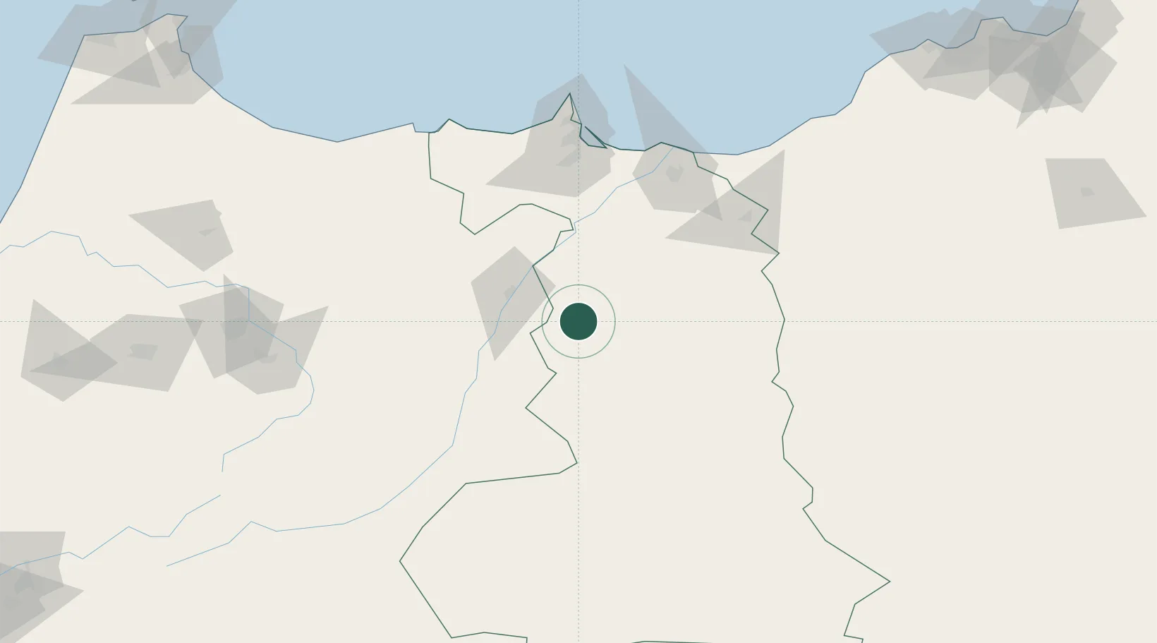
Hub Profile
Place type
District seat
Region
Oriental
Population
23,553
Time zone
Africa/Casablanca
Elevation
80 m
Location
Nearby Logistics Neighbours
Cities
- 1Ras El Ma126 km
- 2Saidia129 km
- 3Nador135 km
- 4Melilla136 km
- 5Sidi Yahia143 km
Ports
- 1Port Nador135 km
- 2Ghazaouet150 km
- 3Port D Al Hoceima160 km
- 4Beni Saf196 km
- 5Oran276 km
Airports
- 1Nador Al Aaroui International Airport103 km
- 2Oujda Angads Airport121 km
- 3Melilla Airport135 km
- 4Cherif Al Idrissi Airport150 km
- 5Zenata – Messali El Hadj Airport170 km
Trade Zones
- 1Berkane Agro-Pole112 km
- 2Nador WestMed Free Zone132 km
- 3Melilla Autonomous Community136 km
- 4Ait Kamra Economic Activity Zone156 km
- 5Fès Shore Industrial Park188 km
DatabookThe Record of Consolidated Knowledge
Morocco beyond logistics?