Seaport · Libya
Mina Tarabulus (Tripoli)LYTIP
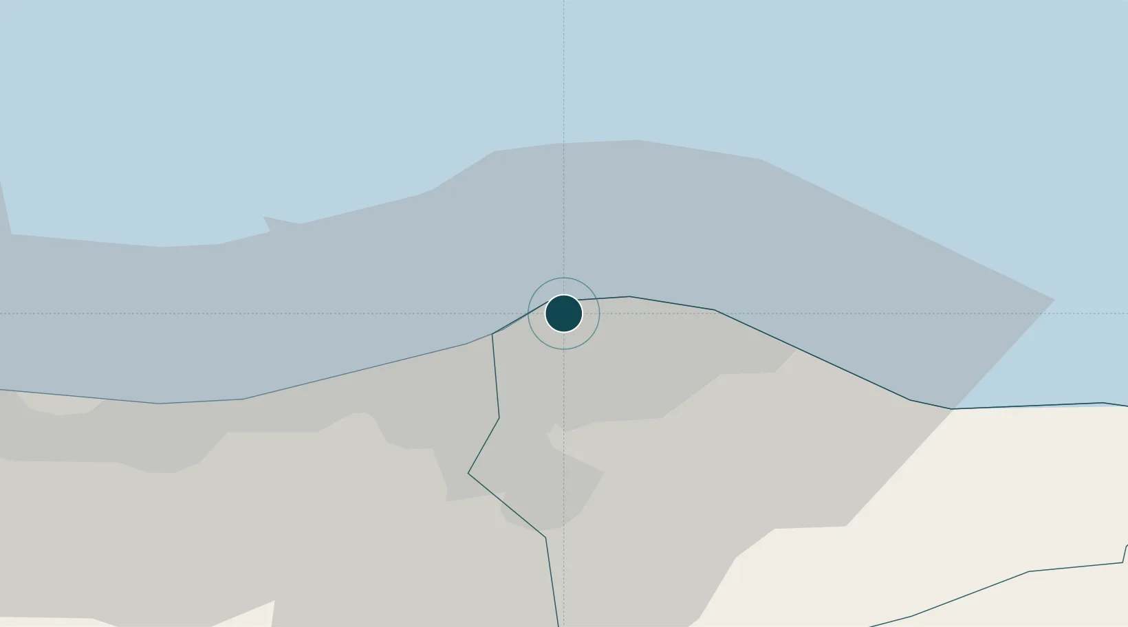
32.9000°, 13.1833°
11.0 m
Channel depth
1
Container terminals
39.9
Port liner connectivity
Channel & Berth Profile
Pilotage, Tugs & Services
Pilotage compulsoryYES
Tug assistanceYES
Shore powerYES
Potable waterYES
MedicalYES
Garbage disposalYES
Facilities & Capabilities
Container—
Ro-Ro—
Liquid bulk—
Dry bulk—
Oil terminal—
Break bulk—
Dry dockNO
RepairsNO
BunkeringYES
Rail linkYES
Dangerous cargo—
ISPS security—
Harbour Specifications
Harbour size
Medium
Harbour type
Coastal (Breakwater)
Shelter
Good
Water body
Mediterranean Sea; North Atlantic Ocean
Tidal range
1 m
Pilotage
Yes
Liner Connectivity
39.9
PLSCI
Port Liner Shipping Connectivity Index for Mina Tarabulus (Tripoli), as published by UNCTAD for the latest available quarter. Higher values indicate stronger scheduled liner-shipping integration.
Shown relative to the highest per-port PLSCI in the dataset (1,657.9).
Location
Container Terminals · 1
TRIPOLI COMMERICIAL PORT
TCP LIBYAN PORTS COMPNY (LPC)
Nearby Logistics Neighbours
Ports
- 1Az Zawiya45 km
- 2Khoms103 km
- 3Bouri Oil Field122 km
- 4Abu Khammash129 km
- 5Didon Terminal155 km
Cities
- 1Az Zawiyah47 km
- 2Al Khums102 km
- 3El Choms105 km
- 4Didon153 km
- 5Misurata200 km
Airports
- 1Mitiga International Airport10 km
- 2Okba Ibn Nafa Air Base129 km
- 3Misrata International Airport187 km
- 4Djerba Zarzis International Airport248 km
- 5Remada Air Base271 km
Trade Zones
- 1Zwara-Abu-Kemmash Free Trade Zone107 km
- 2Taminhent Free Zone128 km
- 3Ben Guerdane Economic Free Zone154 km
- 4Misurata Free Zone200 km
- 5Zarzis Park of Economic Activities203 km
DatabookThe Record of Consolidated Knowledge
Libya beyond logistics?