UN/LOCODE hub · Libya
LYKHO
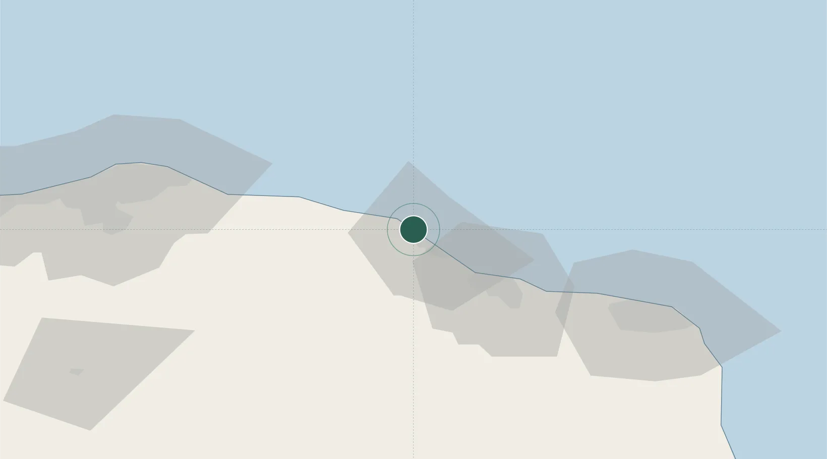
Al Khums
32.6753°, 14.2450°
201,943
Population
2
Transport functions
1
Container terminals
Transport Functions
Port
Road
Hub Profile
Place type
Regional capital
Region
Al Marqab
Population
201,943
Time zone
Africa/Tripoli
Elevation
27 m
Logistics facilities
1
Container terminals
1
Location
Nearby Logistics Neighbours
Cities
- 1El Choms4 km
- 2Misurata98 km
- 3Tripoli102 km
- 4Mellitah (Qasr Ahmed)104 km
- 5Az Zawiyah143 km
Ports
- 1Khoms1 km
- 2Misratah97 km
- 3Mina Tarabulus (Tripoli)102 km
- 4Az Zawiya144 km
- 5Bouri Oil Field201 km
Airports
Trade Zones
- 1Misurata Free Zone98 km
- 2Zwara-Abu-Kemmash Free Trade Zone208 km
- 3Taminhent Free Zone220 km
- 4Ben Guerdane Economic Free Zone257 km
- 5Zarzis Park of Economic Activities306 km
DatabookThe Record of Consolidated Knowledge
Libya beyond logistics?