Large airport · Libya
Mitiga International AirportHLLM
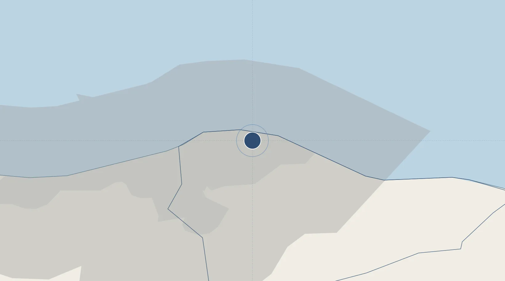
32.8918°, 13.2879°
11,155 ft
Longest runway
1
Runways
36 ft
Elevation
Runway & Layout

Radio Frequencies
TWR
126.3 MHz
Navaids
MTG VOR Mitiga 113.40 MHz
Runways · 1
| Runway | Dimensions | Surface | True heading | Lit |
|---|---|---|---|---|
| 10/28 | 11,155 × 148ft | Asphalt | 103° | ✓ |
Airport Specifications
IATA code
MJI
ICAO code
HLLM
Airport class
Large airport
Scheduled service
Yes
Runway surface
Asphalt
Served city
Tripoli
Location
Nearby Logistics Neighbours
Airports
- 1Okba Ibn Nafa Air Base138 km
- 2Misrata International Airport178 km
- 3Djerba Zarzis International Airport257 km
- 4Remada Air Base280 km
- 5Lampedusa Airport296 km
Cities
- 1Tripoli9 km
- 2Az Zawiyah56 km
- 3Al Khums93 km
- 4El Choms95 km
- 5Didon162 km
Ports
- 1Mina Tarabulus (Tripoli)10 km
- 2Az Zawiya54 km
- 3Khoms93 km
- 4Bouri Oil Field127 km
- 5Abu Khammash139 km
Trade Zones
- 1Zwara-Abu-Kemmash Free Trade Zone117 km
- 2Taminhent Free Zone137 km
- 3Ben Guerdane Economic Free Zone164 km
- 4Misurata Free Zone190 km
- 5Zarzis Park of Economic Activities213 km
DatabookThe Record of Consolidated Knowledge
Libya beyond logistics?