Medium airport · Libya

Okba Ibn Nafa Air BaseHL77
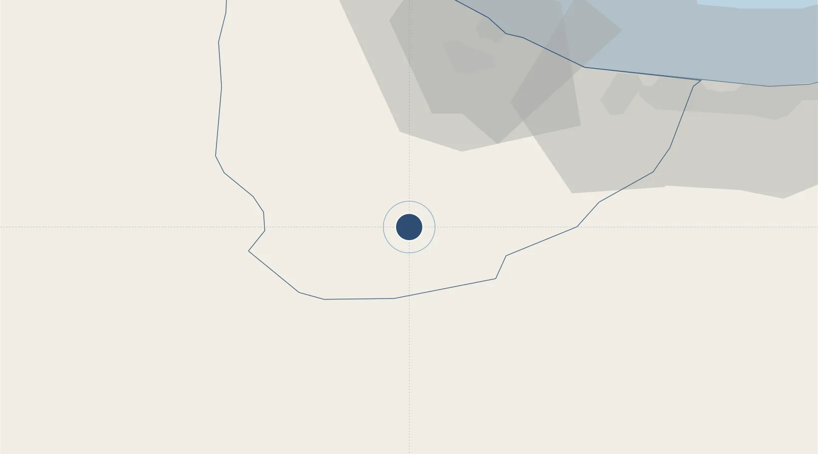
32.4734°, 11.8979°
10,500 ft
Longest runway
2
Runways
253 ft
Elevation

Runway & Layout

Okba Ibn Nafa Air Base runway & taxiway layout
Runway & taxiway layout — OpenStreetMap (ODbL) / OurAirports

Runways · 2

RunwayDimensions SurfaceTrue headingLit
10L/28R 10,500 × 148ft Asphalt 097°
10R/28L 10,500 × 148ft Asphalt 097°
OurAirports

Airport Specifications

Airport class
Medium airport
OurAirports
Scheduled service
No
OurAirports
Runway surface
Asphalt
OurAirports

Location

Location of HL77
Natural Earth 10m (public domain) · An Nuqat al Khams · HL77 · 32.47, 11.90GoogleOSMYandex

Nearby Logistics Neighbours

Airports
  1. 1Mitiga International Airport138 km
  2. 2Remada Air Base144 km
  3. 3Djerba Zarzis International Airport187 km
  4. 4Gabès Matmata International Airport232 km
  5. 5El Borma Airport263 km
Nearest neighbours — logibook spatial index (haversine) over the source coordinates
Cities
  1. 1Az Zawiyah83 km
  2. 2Tripoli130 km
  3. 3Zarzis135 km
  4. 4Didon144 km
  5. 5Medenine163 km
Nearest neighbours — logibook spatial index (haversine) over the source coordinates
Ports
  1. 1Abu Khammash66 km
  2. 2Az Zawiya85 km
  3. 3Mina Tarabulus (Tripoli)129 km
  4. 4Zarzis135 km
  5. 5Didon Terminal146 km
Nearest neighbours — logibook spatial index (haversine) over the source coordinates
Trade Zones
  1. 1Taminhent Free Zone2 km
  2. 2Zwara-Abu-Kemmash Free Trade Zone53 km
  3. 3Ben Guerdane Economic Free Zone81 km
  4. 4Zarzis Park of Economic Activities134 km
  5. 5Misurata Free Zone312 km
Nearest neighbours — logibook spatial index (haversine) over the source coordinates
DatabookThe Record of Consolidated Knowledge
Libya beyond logistics?
Browse databook

All Sources

AirportsOurAirports
Public domain
Portsthe NGA World Port Index
Public domain (US gov)
LocationsUN/LOCODE
UN/LOCODE — free
Trade Zonesthe World Bank SEZ database
CC BY 4.0
Trade ZonesOpen Zone Map
CC BY
InfrastructureOpenStreetMap
ODbL 1.0
← Libya airports