Transport Functions
Rail
Road
Hub Profile
Place type
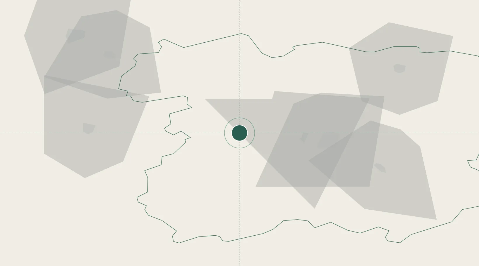
Populated place
Region
Siauliai
Time zone
Europe/Vilnius
Elevation
114 m
Location
Nearby Logistics Neighbours
Cities
- 1Kursénai2 km
- 2Venta29 km
- 3Naujoji Akmene39 km
- 4Radviliskis42 km
- 5Telsiai43 km
Ports
- 1Klaipeda116 km
- 2Butinge Oil Terminal123 km
- 3Riga131 km
- 4Liepaja132 km
- 5Ventspils180 km
Airports
- 1Šiauliai International Airport31 km
- 2Barysiai Airfield42 km
- 3Kėdainiai Air Base98 km
- 4Panevėžys Air Base100 km
- 5Jūrmala Airport110 km
Trade Zones
- 1ō iauliai Free Economic Zone29 km
- 2Akmenė Free Economic Zone33 km
- 3Panevėžys Free Economic Zone98 km
- 4Kėdainiai Free Economic Zone103 km
- 5Liepāja SEZ124 km
DatabookThe Record of Consolidated Knowledge
Lithuania beyond logistics?