UN/LOCODE hub · South Korea
KRZAI

Yoju

37.2833°, 127.6333°
1
Transport functions

Transport Functions

Multimodal
UN/LOCODE

Hub Profile

Region
41
GeoNames

Location

Location of KRZAI
Natural Earth 10m (public domain) · 41 · KRZAI · 37.28, 127.63GoogleOSMYandex

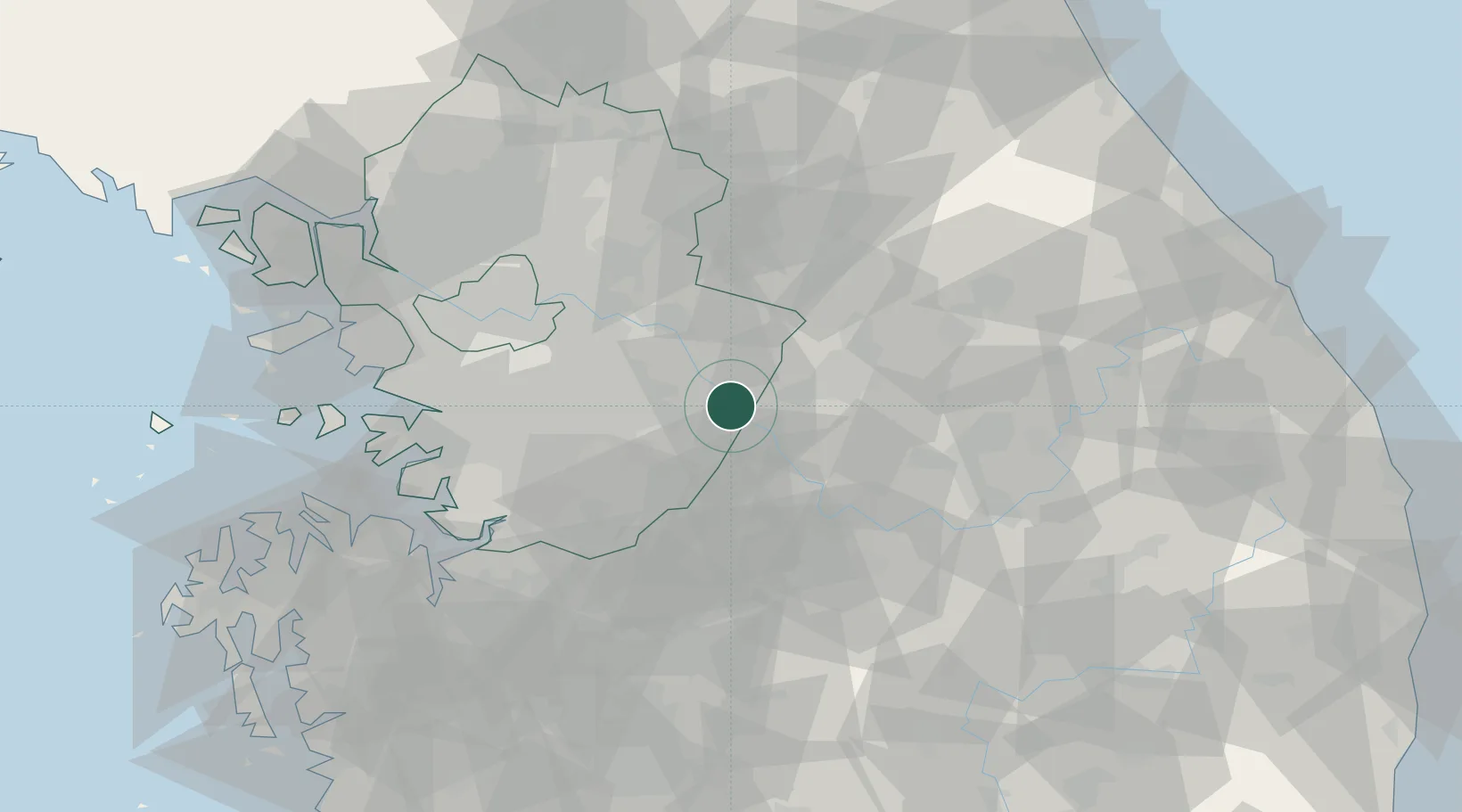
Nearby Logistics Neighbours

Cities
  1. 1Yeoju0 km
  2. 2Icheon18 km
  3. 3Wonju27 km
  4. 4Hoengseong-gun38 km
  5. 5Eumseong-gun39 km
Nearest neighbours — logibook spatial index (haversine) over the source coordinates
Ports
  1. 1Pyeongtaek Hang80 km
  2. 2Inchon92 km
  3. 3Daesan Hang113 km
  4. 4Sokch'o Hang133 km
  5. 5Mukho135 km
Nearest neighbours — logibook spatial index (haversine) over the source coordinates
Airports
  1. 1Wonju Airport / Hoengseong Air Base (K-38/K-46)34 km
  2. 2Jungwon Air Base/Chungju Airport36 km
  3. 3Seoul Air Base (K-16)49 km
  4. 4Suwon Airport56 km
  5. 5Osan Air Base58 km
Nearest neighbours — logibook spatial index (haversine) over the source coordinates
Trade Zones
  1. 1Munmak Foreign Investment Zone15 km
  2. 2Jincheon Sansu Industrial Complex37 km
  3. 3Chungju High-Tech Industry Complex40 km
  4. 4Chungju 1General Industrial Complex41 km
  5. 5Seongnam General Industrial Complex44 km
Nearest neighbours — logibook spatial index (haversine) over the source coordinates
DatabookThe Record of Consolidated Knowledge
South Korea beyond logistics?
Browse databook

All Sources

LocationsUN/LOCODE
UN/LOCODE — free
Portsthe NGA World Port Index
Public domain (US gov)
AirportsOurAirports
Public domain
Trade Zonesthe World Bank SEZ database
CC BY 4.0
Trade ZonesOpen Zone Map
CC BY
← South Korea locations