Seaport · South Korea

Sokch'o HangKRSHO

38.2000°, 128.6000°
7.9 m
Channel depth
Sokch'o Hang is also a UN/LOCODE logistics hub →

Channel & Berth Profile

SEA LEVEL (CD)CHANNEL BEDChannel · 7.9 mAnchorage · 7.9 mCargo pier · 7.9 m
NGA World Port Index

Pilotage, Tugs & Services

Pilotage availableNO
Tug assistanceNO
Potable waterYES
NGA World Port Index

Facilities & Capabilities

Container
Ro-Ro
Liquid bulk
Dry bulk
Oil terminal
Break bulk
Dry dock
RepairsNO
Bunkering
Rail link
Dangerous cargo
ISPS security
NGA World Port Index

Harbour Specifications

Harbour size
Very Small
NGA World Port Index
Harbour type
Coastal (Breakwater)
NGA World Port Index
Shelter
Excellent
NGA World Port Index
Water body
Sea of Japan; North Pacific Ocean
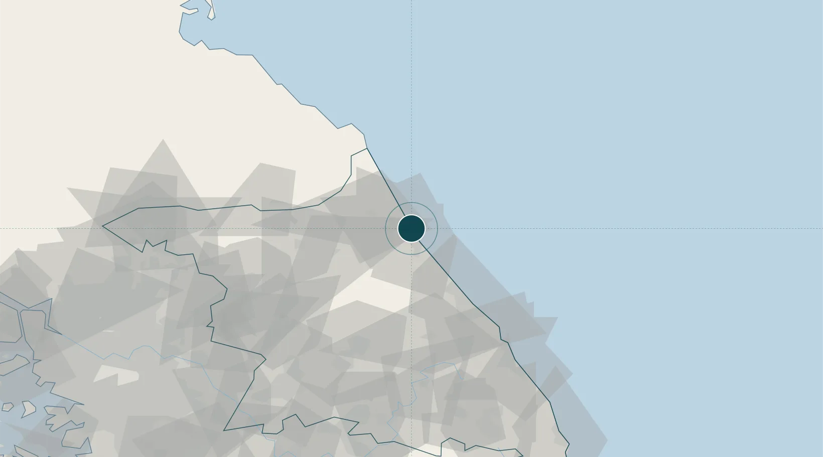
NGA World Port Index

Location

Location of KRSHO
Natural Earth 10m (public domain) · Gangwon · KRSHO · 38.20, 128.60GoogleOSMYandex

Nearby Logistics Neighbours

Ports
  1. 1Mukho84 km
  2. 2Tonghae89 km
  3. 3Wonsan147 km
  4. 4Inchon192 km
  5. 5Hungnam201 km
Nearest neighbours — logibook spatial index (haversine) over the source coordinates
Cities
  1. 1Yangyang-gun15 km
  2. 2Goseong-gun22 km
  3. 3Jumunjin41 km
  4. 4Yanggu-gun55 km
  5. 5Gangneung57 km
Nearest neighbours — logibook spatial index (haversine) over the source coordinates
Airports
  1. 1Yangyang International Airport17 km
  2. 2Gangneung Airport (K-18)58 km
  3. 3Wonju Airport / Hoengseong Air Base (K-38/K-46)102 km
  4. 4Jungwon Air Base/Chungju Airport145 km
  5. 5Wonsan Kalma International Airport145 km
Nearest neighbours — logibook spatial index (haversine) over the source coordinates
DatabookThe Record of Consolidated Knowledge
South Korea beyond logistics?
Browse databook

All Sources

Portsthe NGA World Port Index
Public domain (US gov)
AirportsOurAirports
Public domain
LocationsUN/LOCODE
UN/LOCODE — free
Trade Zonesthe World Bank SEZ database
CC BY 4.0
Trade ZonesOpen Zone Map
CC BY
← South Korea ports