UN/LOCODE hub · South Korea
KRYJU

Yeoju

37.2833°, 127.6333°
111,897
Population
2
Transport functions

Transport Functions

Rail
Road
UN/LOCODE

Hub Profile

Place type
Populated place
GeoNames
Region
Gyeonggi-do
GeoNames
Population
111,897
GeoNames
Time zone
Asia/Seoul
GeoNames
Elevation
50 m
GeoNames

Location

Location of KRYJU
Natural Earth 10m (public domain) · Gyeonggi-do · KRYJU · 37.28, 127.63GoogleOSMYandex

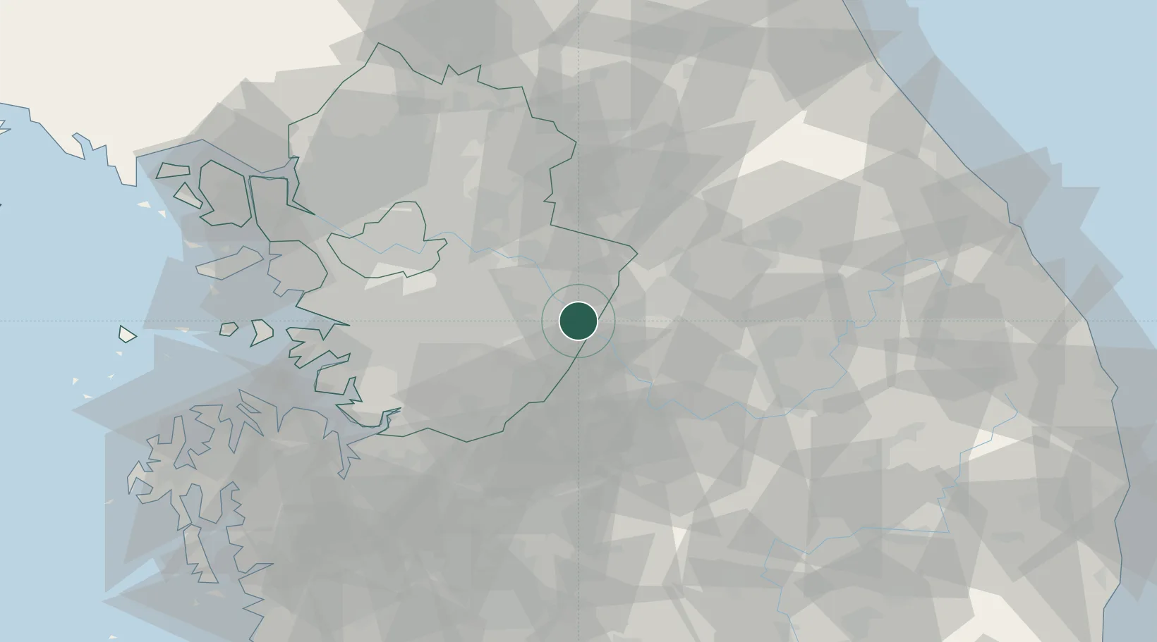
Nearby Logistics Neighbours

Cities
  1. 1Yoju0 km
  2. 2Icheon18 km
  3. 3Wonju27 km
  4. 4Hoengseong-gun38 km
  5. 5Eumseong-gun39 km
Nearest neighbours — logibook spatial index (haversine) over the source coordinates
Ports
  1. 1Pyeongtaek Hang80 km
  2. 2Inchon92 km
  3. 3Daesan Hang113 km
  4. 4Sokch'o Hang133 km
  5. 5Mukho135 km
Nearest neighbours — logibook spatial index (haversine) over the source coordinates
Airports
  1. 1Wonju Airport / Hoengseong Air Base (K-38/K-46)34 km
  2. 2Jungwon Air Base/Chungju Airport36 km
  3. 3Seoul Air Base (K-16)49 km
  4. 4Suwon Airport56 km
  5. 5Osan Air Base58 km
Nearest neighbours — logibook spatial index (haversine) over the source coordinates
Trade Zones
  1. 1Munmak Foreign Investment Zone15 km
  2. 2Jincheon Sansu Industrial Complex37 km
  3. 3Chungju High-Tech Industry Complex40 km
  4. 4Chungju 1General Industrial Complex41 km
  5. 5Seongnam General Industrial Complex44 km
Nearest neighbours — logibook spatial index (haversine) over the source coordinates
DatabookThe Record of Consolidated Knowledge
South Korea beyond logistics?
Browse databook

All Sources

LocationsUN/LOCODE
UN/LOCODE — free
LocationsGeoNames
CC BY 4.0
Portsthe NGA World Port Index
Public domain (US gov)
AirportsOurAirports
Public domain
Trade Zonesthe World Bank SEZ database
CC BY 4.0
Trade ZonesOpen Zone Map
CC BY
← South Korea locations