Medium airport · South Korea

Wonju Airport / Hoengseong Air Base (K-38/K-46)RKNW
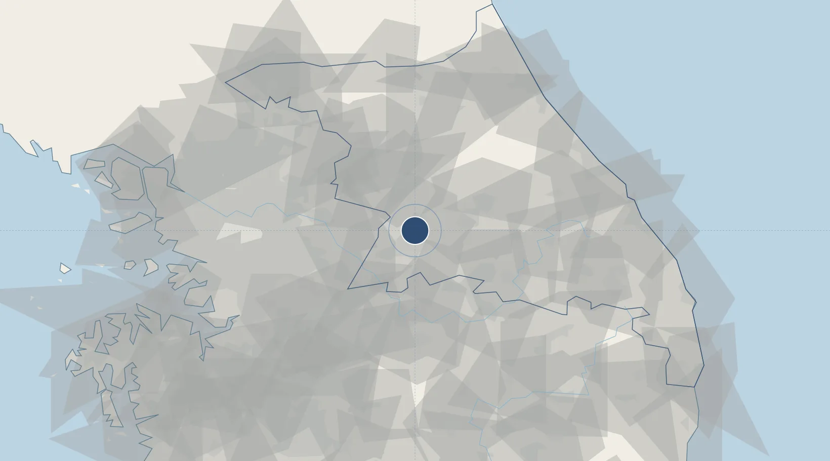
37.4371°, 127.9601°
9,000 ft
Longest runway
1
Runways
329 ft
Elevation

Runway & Layout

Wonju Airport / Hoengseong Air Base (K-38/K-46) runway & taxiway layout
Runway & taxiway layout — OpenStreetMap (ODbL) / OurAirports

Radio Frequencies

ATIS
136.45 MHz
TWR
126.2 MHz
APP
141.2 MHz
DEP
130.2 MHz
ACP
120 MHz
BRICKWALL
GCCD
27.58 MHz
GND CLNC DEL
OurAirports

Navaids

HGS VOR-DME Wonju 110.20 MHz
WJ NDB Wonju 274 kHz
WNJ TACAN Wonju 111.60 MHz
OurAirports

Runways · 1

RunwayDimensions SurfaceTrue headingLit
03/21 9,000 × 150ft Concrete 026°
OurAirports

Airport Specifications

IATA code
WJU
OurAirports
ICAO code
RKNW
OurAirports
Airport class
Medium airport
OurAirports
Scheduled service
Yes
OurAirports
Runway surface
Concrete
OurAirports
Served city
Wonju
OurAirports

Location

Location of RKNW
Natural Earth 10m (public domain) · Gangwon · RKNW · 37.44, 127.96GoogleOSMYandex

Nearby Logistics Neighbours

Airports
  1. 1Jungwon Air Base/Chungju Airport46 km
  2. 2Seoul Air Base (K-16)75 km
  3. 3Suwon Airport87 km
  4. 4Cheongju International Airport/Cheongju Air Base (K-59/G-513)90 km
  5. 5Osan Air Base91 km
Nearest neighbours — logibook spatial index (haversine) over the source coordinates
Cities
  1. 1Hoengseong-gun6 km
  2. 2Wonju12 km
  3. 3Hongcheon-gun28 km
  4. 4Yeoju34 km
  5. 5Yoju34 km
Nearest neighbours — logibook spatial index (haversine) over the source coordinates
Ports
  1. 1Sokch'o Hang102 km
  2. 2Mukho103 km
  3. 3Tonghae106 km
  4. 4Pyeongtaek Hang114 km
  5. 5Inchon119 km
Nearest neighbours — logibook spatial index (haversine) over the source coordinates
Trade Zones
  1. 1Munmak Foreign Investment Zone21 km
  2. 2Jecheon General Industrial Complex36 km
  3. 3Chungju 1General Industrial Complex47 km
  4. 4Chungju High-Tech Industry Complex51 km
  5. 5Gangwon-do Regulation-Free Zone54 km
Nearest neighbours — logibook spatial index (haversine) over the source coordinates
DatabookThe Record of Consolidated Knowledge
South Korea beyond logistics?
Browse databook

All Sources

AirportsOurAirports
Public domain
Portsthe NGA World Port Index
Public domain (US gov)
LocationsUN/LOCODE
UN/LOCODE — free
Trade Zonesthe World Bank SEZ database
CC BY 4.0
Trade ZonesOpen Zone Map
CC BY
InfrastructureOpenStreetMap
ODbL 1.0
← South Korea airports