Transport Functions
Rail
Road
Airport
Hub Profile
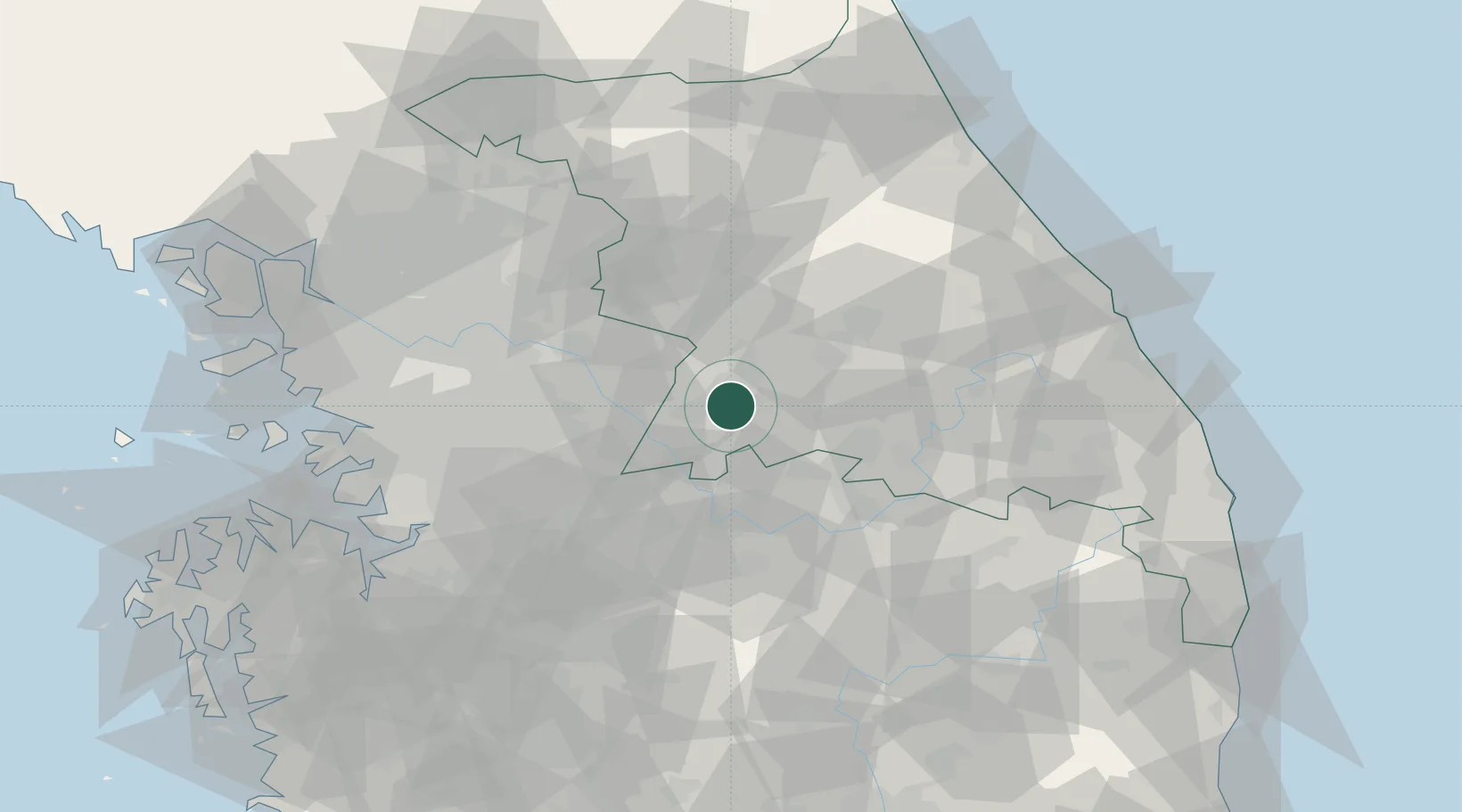
Place type
Populated place
Region
Gangwon-do
Population
332,849
Time zone
Asia/Seoul
Elevation
133 m
Location
Nearby Logistics Neighbours
Cities
- 1Hoengseong-gun17 km
- 2Yeoju27 km
- 3Yoju27 km
- 4Jecheon34 km
- 5Hongcheon-gun39 km
Ports
- 1Pyeongtaek Hang107 km
- 2Mukho108 km
- 3Tonghae110 km
- 4Sokch'o Hang113 km
- 5Inchon117 km
Airports
DatabookThe Record of Consolidated Knowledge
South Korea beyond logistics?