Medium airport · South Korea

Jungwon Air Base/Chungju AirportRKTI
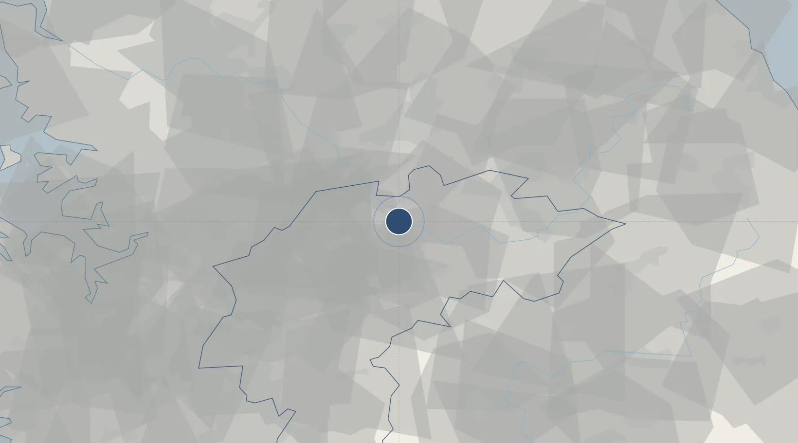
37.0302°, 127.8864°
9,330 ft
Longest runway
2
Runways
281 ft
Elevation

Runway & Layout

Jungwon Air Base/Chungju Airport runway & taxiway layout
Runway & taxiway layout — OpenStreetMap (ODbL) / OurAirports

Radio Frequencies

ATIS
135.6 MHz
TWR
126.2 MHz
APP
132.55 MHz
DEP
132.55 MHz
GCCD
27.58 MHz
GND CLNC DEL
OurAirports

Navaids

JWN TACAN Jungwon 111.30 MHz
OurAirports

Runways · 2

RunwayDimensions SurfaceTrue headingLit
18R/36L 9,330 × 120ft Concrete 176°
18L/36R 9,021 × 200ft Concrete 176°
OurAirports

Airport Specifications

IATA code
JWO
OurAirports
ICAO code
RKTI
OurAirports
Airport class
Medium airport
OurAirports
Scheduled service
No
OurAirports
Runway surface
Concrete
OurAirports
Served city
Gimseang-ro
OurAirports

Location

Location of RKTI
Natural Earth 10m (public domain) · North Chungcheong · RKTI · 37.03, 127.89GoogleOSMYandex

Nearby Logistics Neighbours

Airports
  1. 1Wonju Airport / Hoengseong Air Base (K-38/K-46)46 km
  2. 2Cheongju International Airport/Cheongju Air Base (K-59/G-513)49 km
  3. 3Yecheon Airbase61 km
  4. 4Camp Humphreys (A-511) Desiderio Army Airfield76 km
  5. 5Osan Air Base76 km
Nearest neighbours — logibook spatial index (haversine) over the source coordinates
Cities
  1. 1Jincheon-gun21 km
  2. 2Eumseong-gun21 km
  3. 3Goesan-gun27 km
  4. 4Jecheon32 km
  5. 5Wonju34 km
Nearest neighbours — logibook spatial index (haversine) over the source coordinates
Ports
  1. 1Pyeongtaek Hang97 km
  2. 2Inchon122 km
  3. 3Mukho124 km
  4. 4Tonghae125 km
  5. 5Daesan Hang132 km
Nearest neighbours — logibook spatial index (haversine) over the source coordinates
Trade Zones
  1. 1Chungju High-Tech Industry Complex5 km
  2. 2Chungju 1General Industrial Complex5 km
  3. 3Jecheon General Industrial Complex28 km
  4. 4Munmak Foreign Investment Zone30 km
  5. 5Jincheon Sansu Industrial Complex40 km
Nearest neighbours — logibook spatial index (haversine) over the source coordinates
DatabookThe Record of Consolidated Knowledge
South Korea beyond logistics?
Browse databook

All Sources

AirportsOurAirports
Public domain
Portsthe NGA World Port Index
Public domain (US gov)
LocationsUN/LOCODE
UN/LOCODE — free
Trade Zonesthe World Bank SEZ database
CC BY 4.0
Trade ZonesOpen Zone Map
CC BY
InfrastructureOpenStreetMap
ODbL 1.0
← South Korea airports