Transport Functions
Rail
Road
Hub Profile
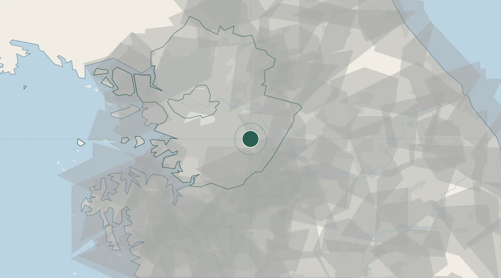
Place type
Populated place
Region
Gyeongsangbuk-do
Time zone
Asia/Seoul
Elevation
193 m
Location
Nearby Logistics Neighbours
Ports
- 1Pyeongtaek Hang64 km
- 2Inchon76 km
- 3Daesan Hang96 km
- 4Sokch'o Hang146 km
- 5Mukho152 km
Airports
DatabookThe Record of Consolidated Knowledge
South Korea beyond logistics?