Diversified Zone · South Korea

Munmak Foreign Investment Zone Inactive
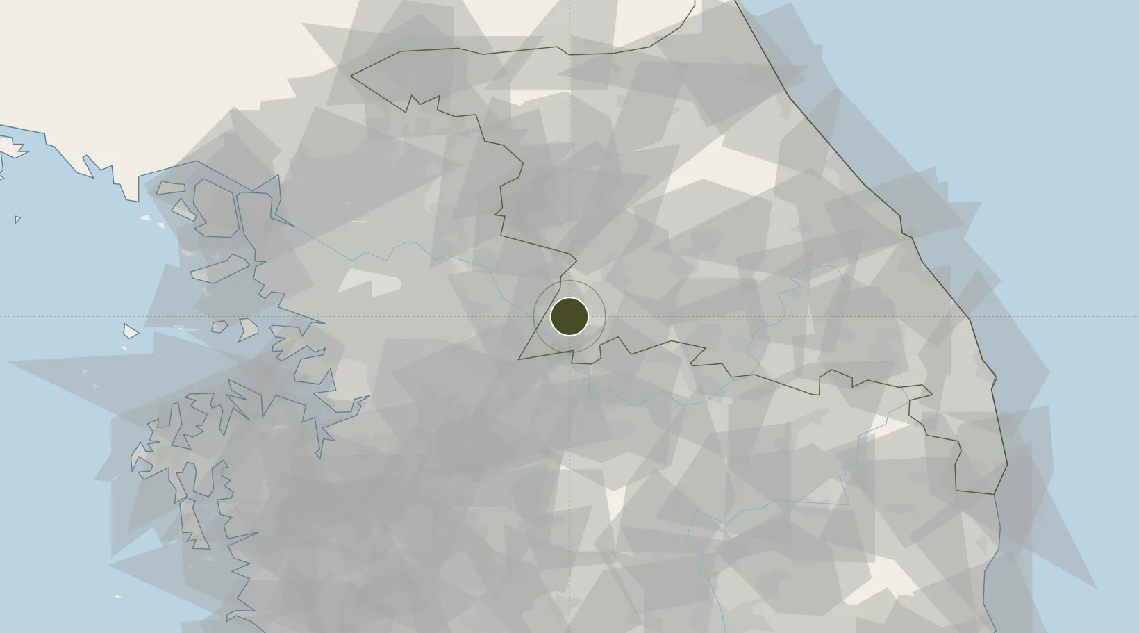
37.2951°, 127.8024°
10 ha
Zone area
94.7 km
Nearest port
21.1 km
Nearest airport

Gateway access

Nearest neighbours — logibook spatial index (haversine) over the source coordinates

Zone profile

Zone type
Diversified Zone
Open Zone Map
Region
Gangwon
Open Zone Map
Status
Inactive
Open Zone Map
Management
Public
Open Zone Map
Operator
Korean Ministry of Trade, Industry and Energy
Open Zone Map
Legal framework
Foreign Investment Promotion Act: Expand Act No. 16131, Dec. 31, 2018.
Open Zone Map

Location

Location of ozm-4178
Natural Earth 10m (public domain) · Gangwon · ozm-4178 · 37.30, 127.80GoogleOSMYandex

Nearby Logistics Neighbours

Ports
  1. 1Pyeongtaek Hang95 km
  2. 2Inchon107 km
  3. 3Mukho120 km
  4. 4Tonghae122 km
  5. 5Sokch'o Hang123 km
Nearest neighbours — logibook spatial index (haversine) over the source coordinates
Airports
  1. 1Wonju Airport / Hoengseong Air Base (K-38/K-46)21 km
  2. 2Jungwon Air Base/Chungju Airport30 km
  3. 3Seoul Air Base (K-16)63 km
  4. 4Cheongju International Airport/Cheongju Air Base (K-59/G-513)70 km
  5. 5Suwon Airport71 km
Nearest neighbours — logibook spatial index (haversine) over the source coordinates
Cities
  1. 1Wonju12 km
  2. 2Yeoju15 km
  3. 3Yoju15 km
  4. 4Hoengseong-gun26 km
  5. 5Icheon33 km
Nearest neighbours — logibook spatial index (haversine) over the source coordinates
Trade Zones
  1. 1Chungju 1General Industrial Complex34 km
  2. 2Chungju High-Tech Industry Complex35 km
  3. 3Jecheon General Industrial Complex36 km
  4. 4Jincheon Sansu Industrial Complex47 km
  5. 5Seongnam General Industrial Complex58 km
Nearest neighbours — logibook spatial index (haversine) over the source coordinates
DatabookThe Record of Consolidated Knowledge
South Korea beyond logistics?
Browse databook

All Sources

Trade ZonesOpen Zone Map
CC BY
Portsthe NGA World Port Index
Public domain (US gov)
AirportsOurAirports
Public domain
LocationsUN/LOCODE
UN/LOCODE — free
← South Korea trade zones