UN/LOCODE hub · South Korea
KRHSG

Hoengseong-gun

37.4833°, 127.9833°
2
Transport functions

Transport Functions

Rail
Road
UN/LOCODE

Hub Profile

Region
42
GeoNames

Location

Location of KRHSG
Natural Earth 10m (public domain) · 42 · KRHSG · 37.48, 127.98GoogleOSMYandex

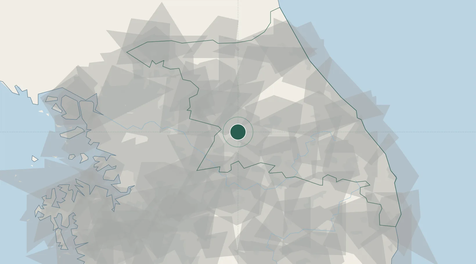
Nearby Logistics Neighbours

Cities
  1. 1Wonju17 km
  2. 2Hongcheon-gun24 km
  3. 3Pyeongchang-gun38 km
  4. 4Yeoju38 km
  5. 5Yoju38 km
Nearest neighbours — logibook spatial index (haversine) over the source coordinates
Ports
  1. 1Sokch'o Hang96 km
  2. 2Mukho100 km
  3. 3Tonghae103 km
  4. 4Pyeongtaek Hang118 km
  5. 5Inchon121 km
Nearest neighbours — logibook spatial index (haversine) over the source coordinates
Airports
  1. 1Wonju Airport / Hoengseong Air Base (K-38/K-46)6 km
  2. 2Jungwon Air Base/Chungju Airport51 km
  3. 3Seoul Air Base (K-16)77 km
  4. 4Yangyang International Airport88 km
  5. 5Gangneung Airport (K-18)90 km
Nearest neighbours — logibook spatial index (haversine) over the source coordinates
Trade Zones
  1. 1Munmak Foreign Investment Zone26 km
  2. 2Jecheon General Industrial Complex40 km
  3. 3Gangwon-do Regulation-Free Zone50 km
  4. 4Chungju 1General Industrial Complex53 km
  5. 5Chungju High-Tech Industry Complex56 km
Nearest neighbours — logibook spatial index (haversine) over the source coordinates
DatabookThe Record of Consolidated Knowledge
South Korea beyond logistics?
Browse databook

All Sources

LocationsUN/LOCODE
UN/LOCODE — free
Portsthe NGA World Port Index
Public domain (US gov)
AirportsOurAirports
Public domain
Trade Zonesthe World Bank SEZ database
CC BY 4.0
Trade ZonesOpen Zone Map
CC BY
← South Korea locations