Transport Functions
Rail
Road
Hub Profile
Region
43
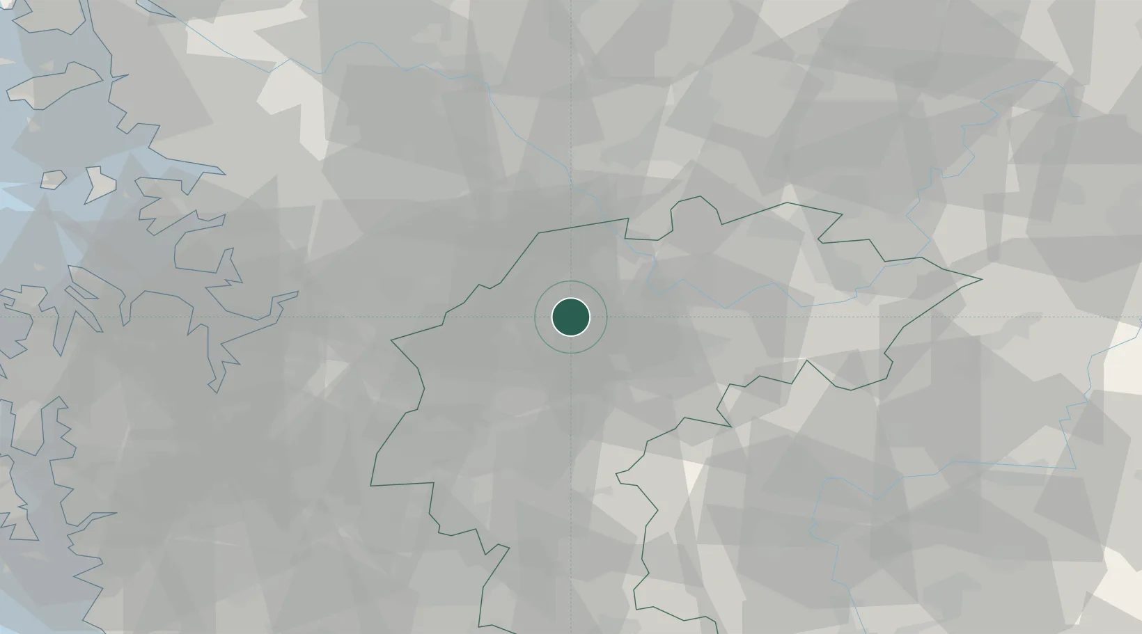
Location
Nearby Logistics Neighbours
Cities
- 1Goesan-gun17 km
- 2Jeungpyeung19 km
- 3Jincheon-gun24 km
- 4Geumsan-gun24 km
- 5Anseong38 km
Ports
- 1Pyeongtaek Hang79 km
- 2Inchon112 km
- 3Daesan Hang114 km
- 4Kunsan142 km
- 5Mukho145 km
Airports
Trade Zones
DatabookThe Record of Consolidated Knowledge
South Korea beyond logistics?