Diversified Zone · South Korea

Jincheon Sansu Industrial Complex Under Development
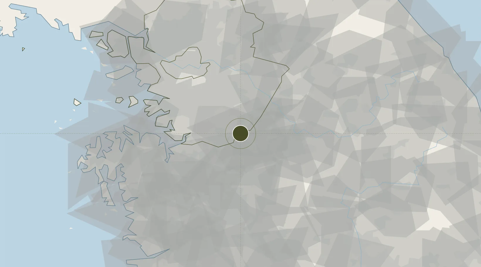
36.9885°, 127.4387°
10 ha
Zone area
56.7 km
Nearest port
30.8 km
Nearest airport

Gateway access

Nearest neighbours — logibook spatial index (haversine) over the source coordinates

Zone profile

Zone type
Diversified Zone
Open Zone Map
Region
Gyeonggi
Open Zone Map
Status
Under Development
Open Zone Map
Management
Public
Open Zone Map
Operator
Jincheon-gun City
Open Zone Map
Legal framework
Foreign Investment Promotion Act: Expand Act No. 16131, Dec. 31, 2018.
Open Zone Map

Location

Location of ozm-4180
Natural Earth 10m (public domain) · Gyeonggi · ozm-4180 · 36.99, 127.44GoogleOSMYandex

Nearby Logistics Neighbours

Ports
  1. 1Pyeongtaek Hang57 km
  2. 2Inchon90 km
  3. 3Daesan Hang92 km
  4. 4Kunsan134 km
  5. 5Mukho162 km
Nearest neighbours — logibook spatial index (haversine) over the source coordinates
Airports
  1. 1Cheongju International Airport/Cheongju Air Base (K-59/G-513)31 km
  2. 2Camp Humphreys (A-511) Desiderio Army Airfield36 km
  3. 3Osan Air Base38 km
  4. 4Jungwon Air Base/Chungju Airport40 km
  5. 5Suwon Airport47 km
Nearest neighbours — logibook spatial index (haversine) over the source coordinates
Cities
  1. 1Anseong15 km
  2. 2Eumseong-gun23 km
  3. 3Geumsan-gun23 km
  4. 4Jeungpyeung26 km
  5. 5Icheon31 km
Nearest neighbours — logibook spatial index (haversine) over the source coordinates
DatabookThe Record of Consolidated Knowledge
South Korea beyond logistics?
Browse databook

All Sources

Trade ZonesOpen Zone Map
CC BY
Portsthe NGA World Port Index
Public domain (US gov)
AirportsOurAirports
Public domain
LocationsUN/LOCODE
UN/LOCODE — free
← South Korea trade zones